
Antique prints and maps
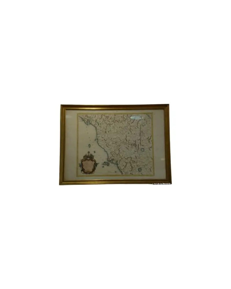
25 pieces
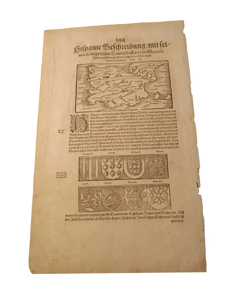
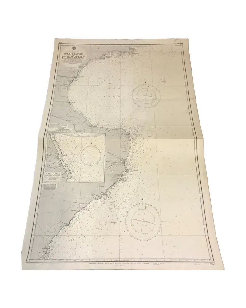
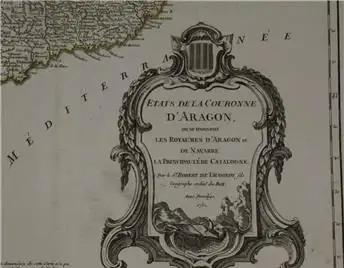
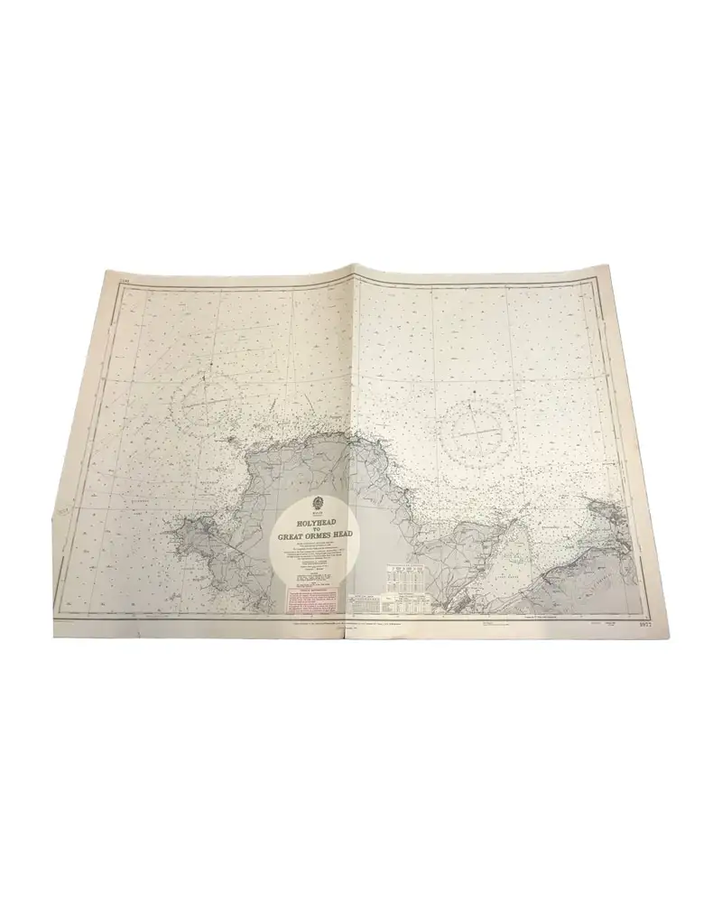
Maps, sea charts and prints from the 16th to the 20th century. They include cartography by Sebastian Münster, Tavernier, Delisle, Robert de Vaugondy, Santini and Bowen, with maps of Hispania, the Crown of Aragon, Italy, the Caribbean and Seville; British Admiralty charts; 18th-century etched views of Girona; and framed engravings of birds and horses from the 18th and 19th centuries. Listings give the engraver or publisher where known, the date and the dimensions of the sheet or frame. Each piece is listed by a dealer who sets the price and answers questions from the listing, which also shows an estimated shipping cost. Pieces more than a hundred years old need an export permit to leave Spain.








See also
Frequently asked questions
- Where can I buy antique prints and maps?
- On Antiga, an antiques marketplace where dealers in Spain list their pieces. This page gathers the pieces currently available in this selection; every listing gives dimensions, period, material, condition and price.
- Who sets the price and how do I ask about a piece?
- The price is set by the dealer who lists the piece. From each listing you can message the dealer about condition, dimensions, provenance or shipping.
- Can pieces be shipped outside Spain?
- Yes. Each listing shows an estimated cost for specialised shipping to your country. Pieces more than a hundred years old need an export permit to leave Spain, and the dealer can advise you on the process.