Sold by

L'Art de la Memòria✓Verified
Antigüedades sobre papel. Cartografía antigua. Catalonia. Geography
Sant Andreu de Llavaneres, España
Art & Paintings · Second half of the 20th Century
ES·EN·PT·DE·FR
Product price
90 €
Estimate shipping
Where do we ship?
Also available for free pickup in Sant Andreu de Llavaneres
Ask about shipping, condition, history, or any questions.
Suggest a price. Sellers typically respond within 24 hours.
No commitment — you only pay if you accept the final agreement.
90 €
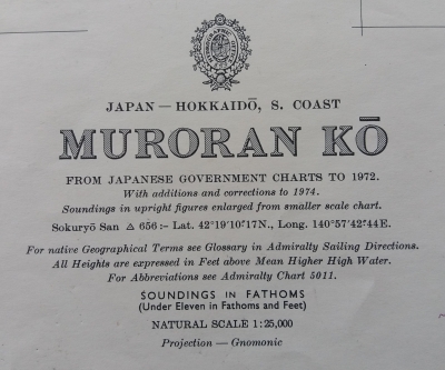
Nautical chart of Muroran Kō, located on the southern coast of Hokkaidō, Japan, dated 1972. Includes updates and corrections until 1974. Provides information on tide heights and soundings in fathoms. The chart is printed on paper and shows geographical and navigational details. Uses gnomonic projection for cartographic representation. Preserves all original marks and annotations from the period. From Japanese government charts to 1972. With additions and corrections to 1974. London published at the Admiralty 23rd February 1962, under the superintendence of Rear-Admiral E.G. Irving, O.B.E., Hydrographer. Small corrections 1975-76. This piece is an official nautical chart of the British Admiralty representing the port of Muroran, located on the island of Hokkaido, Japan. Admiralty charts are globally recognized for their technical accuracy and are highly sought after by both navigators and maritime-themed collectors. Physical Description and Measurements: Editor: Published by the Hydrographic Office of the Royal Navy. Scale: Generally, these port charts (like that of Muroran Ko) are published at a large scale to facilitate docking maneuvers, often 1:12,500 or 1:15,000. Dimensions: The standard 'Full Size' format of the Admiralty is approximately 104 x 71 cm (41 x 28 inches). Material: High-density, heavy-weight paper designed to withstand rough use and moisture on the bridge. Details of the 1972 Edition: Content: The chart shows in meticulous detail the depths (soundings), navigational aids (lighthouses, buoys), underwater hazards, and the infrastructures of the port of Muroran, a key industrial center for steel in Japan. Corrections: Being from 1972, it includes all 'Notices to Mariners' up to its printing date. It usually carries a small stamp in the lower left corner indicating the last official revision. Regional Interest: By representing an important Japanese port, it has a specific market in Asia-Pacific cartography collections.
Suggested uses
Nautical decoration in an office
Collection piece for cartography enthusiasts
Exhibition in a map gallery
Historical reference for maritime studies
Sold by
L'Art de la Memòria✓Verified
Antigüedades sobre papel. Cartografía antigua. Catalonia. Geography
Sant Andreu de Llavaneres, España
Sant Andreu de Llavaneres, España
Exact shipping cost depends on the destination and dimensions of the piece. Contact the seller for a quote.
Shipping cost is defined by the seller based on the destination and characteristics of the piece. They will inform you after confirming the purchase.
The seller coordinates shipping insurance. We recommend confirming coverage before shipping.
Delivery time depends on origin and destination. The seller will give you an estimate after purchase.
Each seller picks one of Antiga's four return policies (14-day returns, exchanges only, defects only, or no returns). The policy for this piece appears next to the price.
Verified pieces
Every seller and piece is reviewed by our team.
Contact & negotiate
Talk directly with the seller with no commitment.
Coordinated payment
We manage payment for the safety of both parties.
Receive your piece
Coordinated shipping with tracking included.
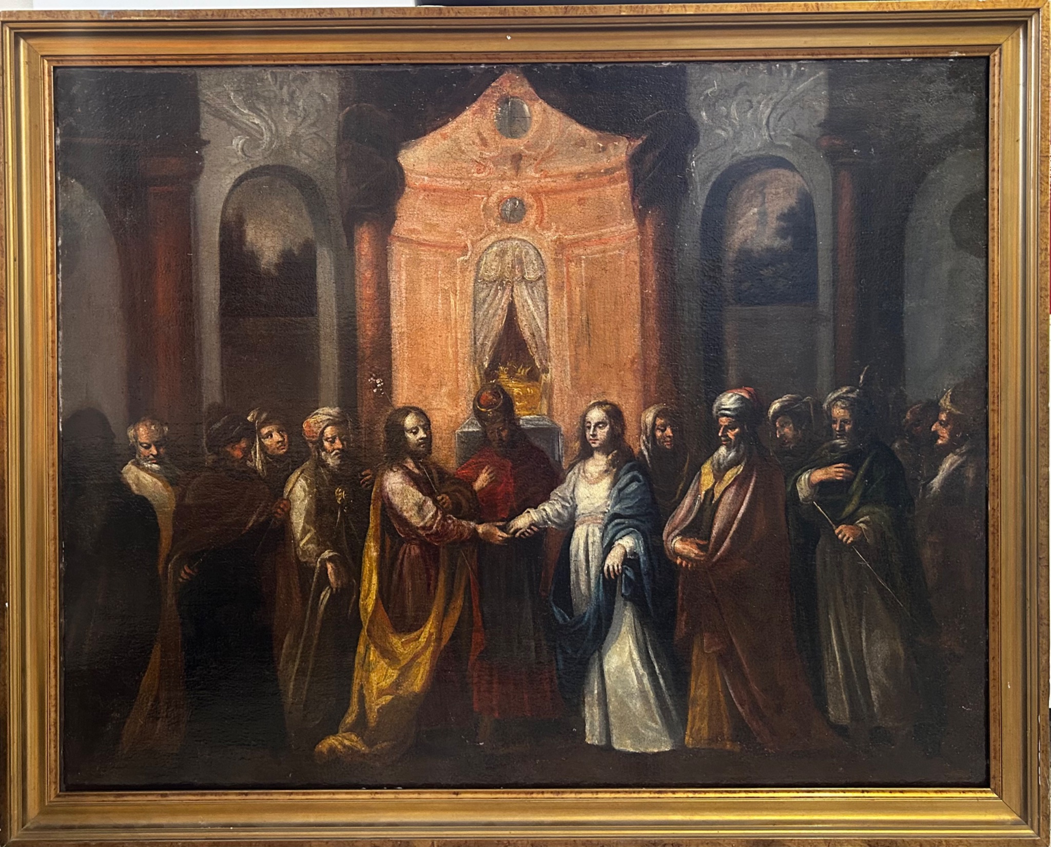
Art & Paintings
18th Century · Italia
Paper
L'Art de la Memòria · Sant Andreu de Llavaneres · 1 week ago
365 €
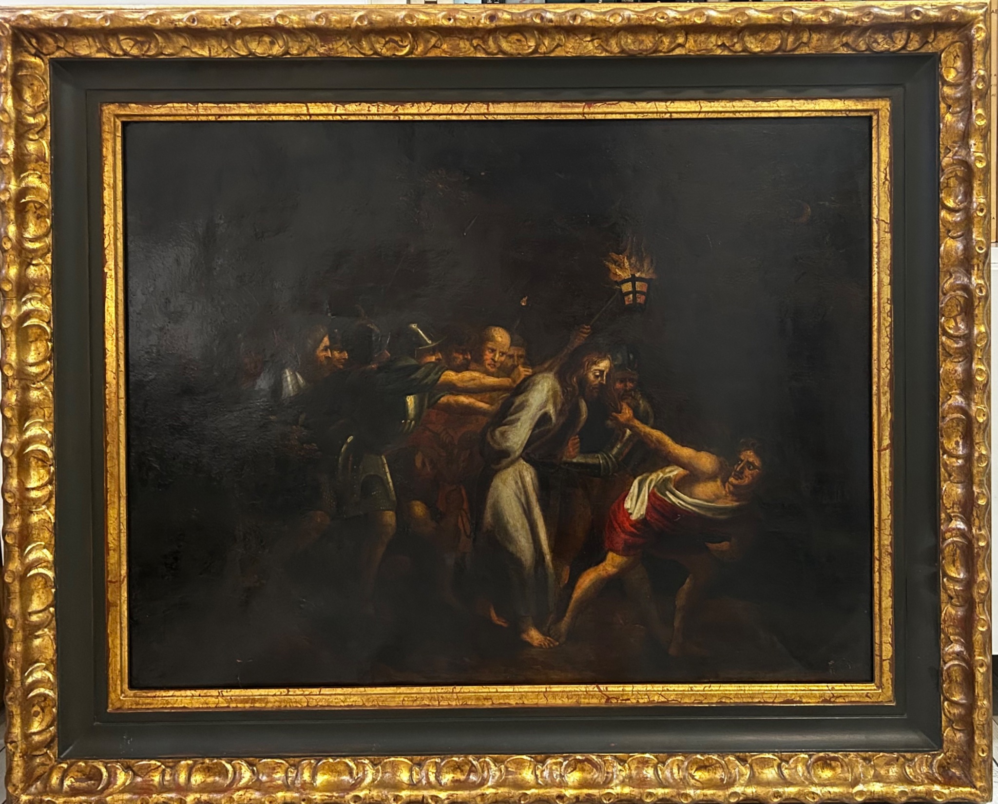
Art & Paintings
18th Century · Italia
Paper, ink
L'Art de la Memòria · Sant Andreu de Llavaneres · 1 week ago
465 €