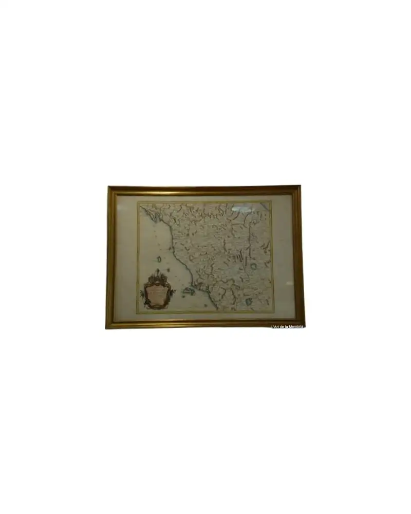
Map 1757 of the Crown of Aragon by Robert de Vaugondy
Art & Paintings · 18th Century
Product price
299,5 €
Estimate shipping
Where do we ship?
Also available for free pickup in Sant Andreu de Llavaneres
Ask about shipping, condition, history, or any questions.
Description
Map of 1757 representing the States of the Crown of Aragon, including the kingdoms of Aragon and Navarre, as well as the Principality of Catalonia. Created by the renowned cartographer Robert de Vaugondy, this map is a notable example of 18th-century cartography. The design shows topographical and political details with great precision. Printed on high-quality paper, the map retains its original clarity. It shows signs of aging appropriate for its age.
Suggested uses
Exhibition in an antique map gallery
Decoration in a private library
Educational use in history classes
Collection of historical maps
- Century
- 18th Century
- Origin
- France
- Material
- Paper, map
- Condition
Related articles
More from L'Art de la Memòria
View shop →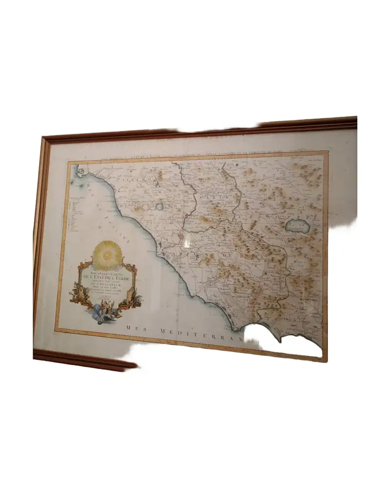
299,5 €