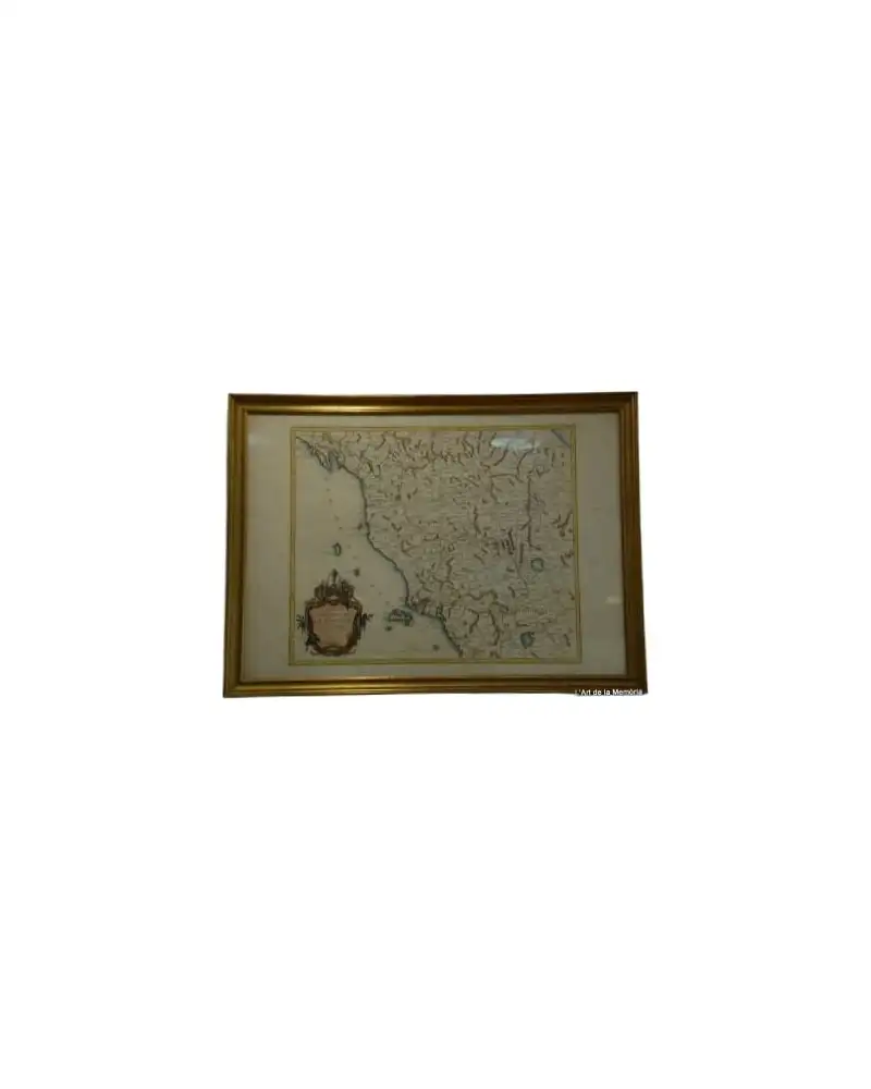
Geographical Map of Hispania, Tavernier, 1640
Decorative Objects · 17th Century
Product price
395 €
Estimate shipping
Where do we ship?
Also available for free pickup in Sant Andreu de Llavaneres
Ask about shipping, condition, history, or any questions.
Description
Geographical map of Hispania from the year 1640, created by Tavernier. This cartographic material shows the ancient episcopates of the region. Printed in Paris, the map is notable for its detailed representation of the Iberian Peninsula. It includes inscriptions and typical ornaments of the time. The condition is good, with signs of aging appropriate for its antiquity.
Suggested uses
Exhibition in a map gallery
Decoration in a library
Study piece for historians
Decorative element in an office
- Century
- 17th Century
- Origin
- France
- Material
- Cartographic material
- Condition
- Original, good condition
Related articles
More from L'Art de la Memòria
View shop →
395 €