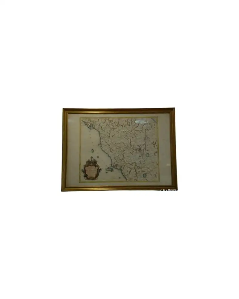
Map of the Caribbean by Bowen, 1747
Art & Paintings · 18th Century
Product price
499,5 €
Estimate shipping
Where do we ship?
Also available for free pickup in Sant Andreu de Llavaneres
Ask about shipping, condition, history, or any questions.
Description
Map of the Caribbean from 1747 created by Emanuel Bowen. This map was produced from the best authorities and modern maps of the time, regulated by astronomical observations. The cartography shows details of the Caribbean islands, the Gulf of Mexico, and parts of Central and South America. The map includes decorative illustrations, such as figures and a lion, that adorn the cartouche. Printed on paper with ink, it is in good condition with precise and legible details.
Suggested uses
Decoration in a history office
Exhibition in a map gallery
Reference for historical studies
Decoration in a personal library
- Century
- 18th Century
- Origin
- United Kingdom
- Material
- Paper, ENGRAVING
- Condition
- Original, good condition
Related articles
More from L'Art de la Memòria
View shop →
499,5 €