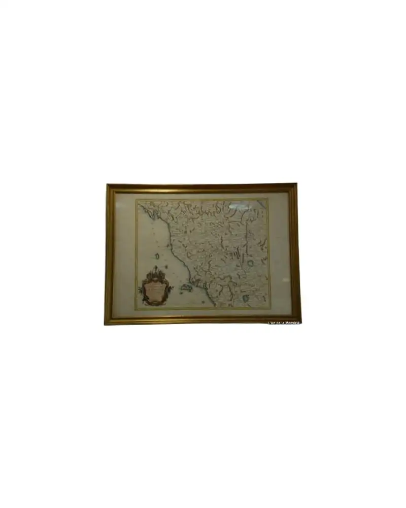
Map of Roses, Beaulieu, 1645
Art & Paintings · 17th Century
Product price
950 €
Estimate shipping
Where do we ship?
Also available for free pickup in Sant Andreu de Llavaneres
Ask about shipping, condition, history, or any questions.
Description
Historical map of the city of Roses, dated 1645. Created by Beaulieu, this map details the region with 17th-century cartographic precision. The map is framed with a gold frame that enhances its presentation. Details of the topography and fortifications of the time are observed. The inscription and engravings are clear and well-preserved. The overall condition is good, with minor wear consistent with its age.
Suggested uses
Display in a living room
Decoration in an office
Centerpiece in a library
Collection of historical maps
- Century
- 17th Century
- Origin
- Roses, España
- Material
- Paper, gold frame
- Condition
- Original, good condition
- Dimensions
Related articles
More from L'Art de la Memòria
View shop →
950 €