Sold by

L'Art de la Memòria✓Verified
Antigüedades sobre papel. Cartografía antigua. Catalonia. Geography
Sant Andreu de Llavaneres, España
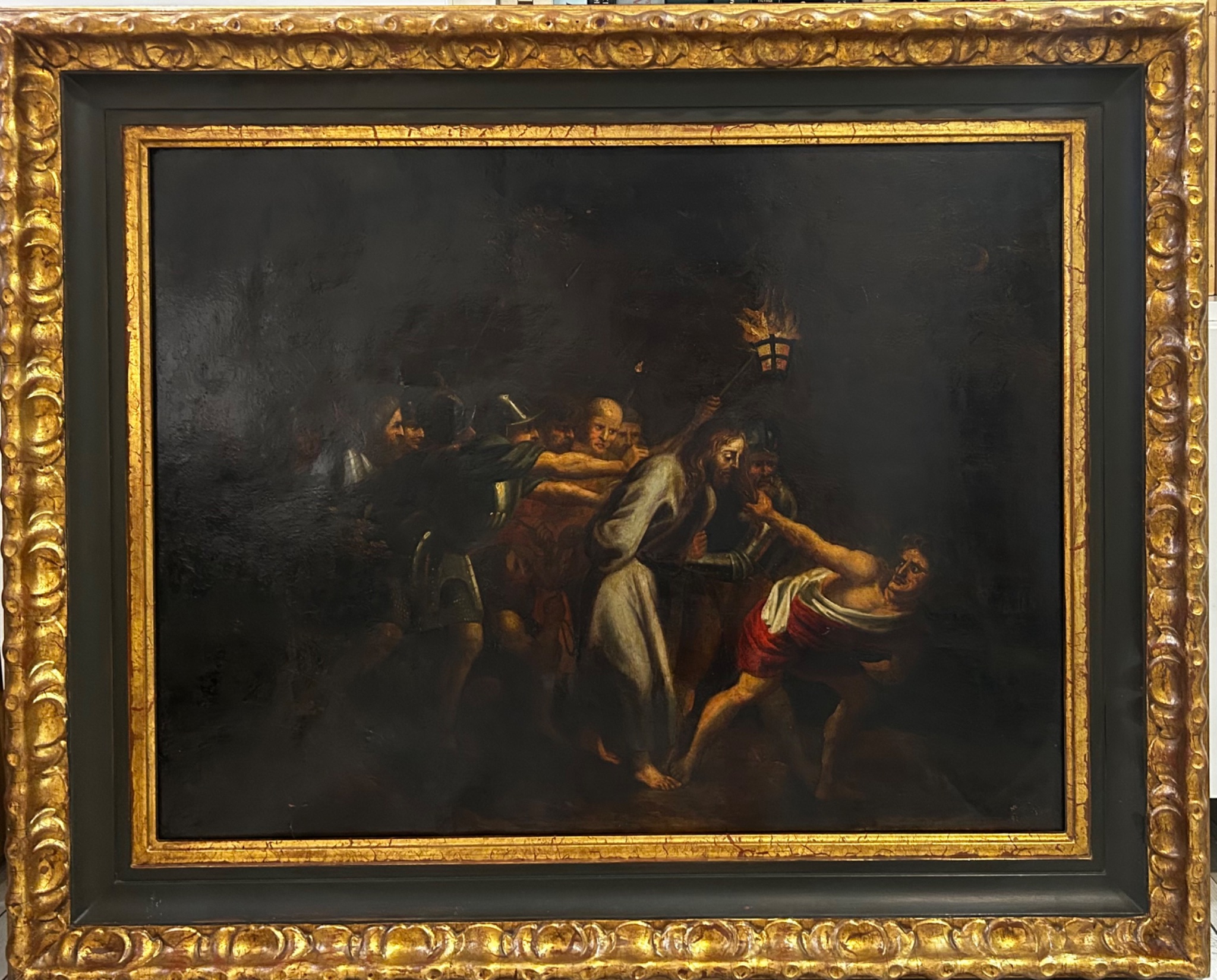
Art & Paintings · 19th Century
ES·EN·PT·DE·FR
Product price
350 €
Estimate shipping
Where do we ship?
Also available for free pickup in Sant Andreu de Llavaneres
Ask about shipping, condition, history, or any questions.
Suggest a price. Sellers typically respond within 24 hours.
350 €
No commitment — you only pay if you accept the final agreement.
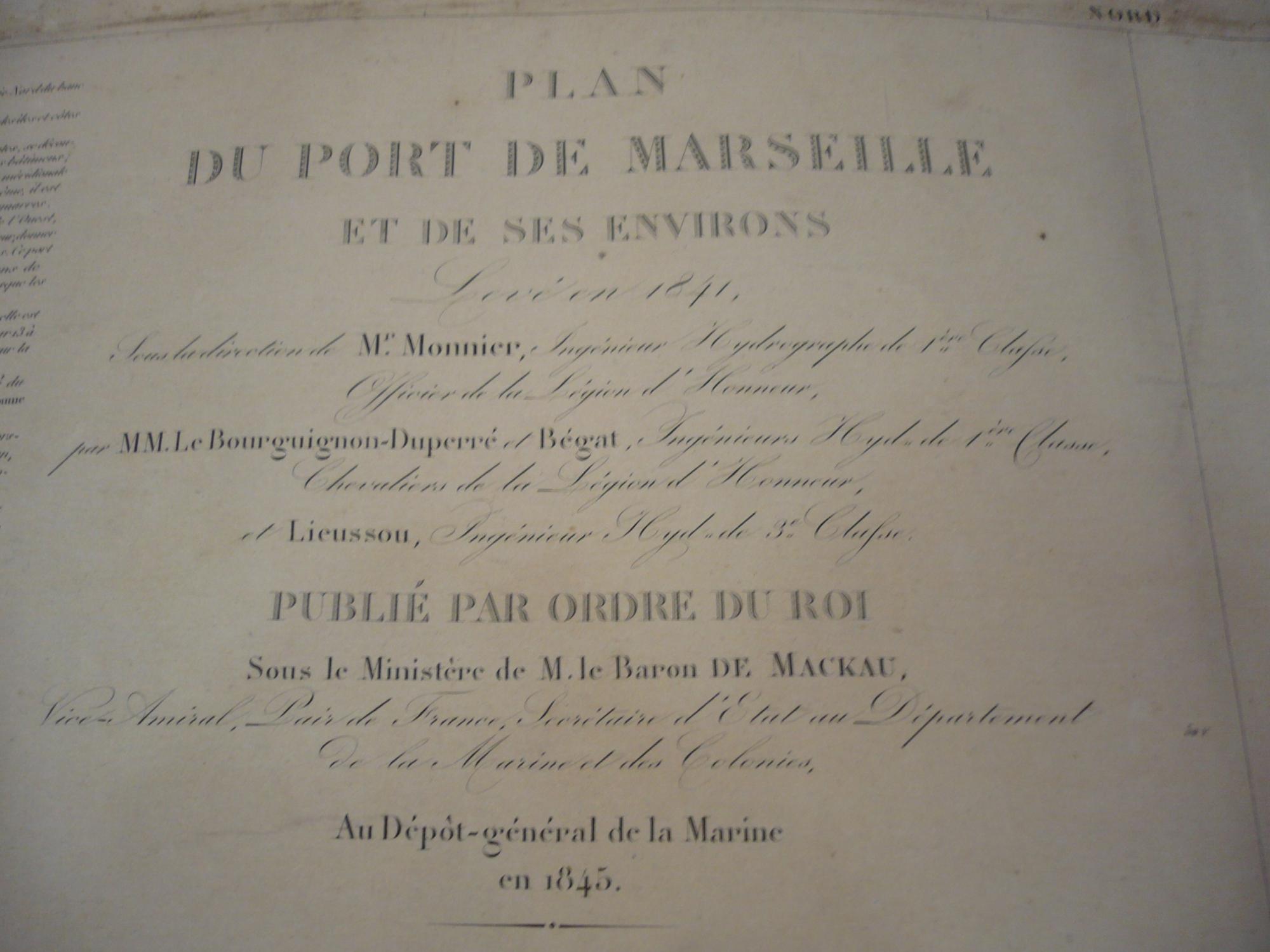
Map of the Port of Marseille and its surroundings, created in 1845 by Monnier, Bourguignon-Duperré, and Lieussou. Published under the order of the King, this map shows topographical and maritime details of the region. The cartography includes nearby islands and the coastal outline with precision. The paper shows signs of aging, consistent with its antiquity. It retains its structural integrity. This piece is one of the most precise and elegant nautical charts of the 19th century, resulting from the work of the Dépôt Général de la Marine (the official hydrographic service of France). Published in 1845, it captures the port of Marseille at a time of great industrial transformation. Technical Details and Measurements Authors: Signed by the hydrographic engineers Monnier, Bourguignon-Duperré, and Lieussou, key figures in French scientific cartography. Format: Copperplate engraving on thick high-quality paper. Dimensions: The sheet size is typically approximately 90 x 60 cm (format 'Grand Aigle'). Scale: Presents a high level of detail (large scale), ideal for coastal approach and docking. Map Description The chart not only shows navigation but also the detailed topography of the surroundings: Port Area: Shows the 'Vieux Port' (Old Port) before the major expansions of the 19th century, with all docks and depth soundings (in feet or meters). Defenses: The Fort Saint-Jean and Fort Saint-Nicolas, guarding the entrance to the port, are clearly detailed. Surroundings: Includes the islands of If (with its famous castle), Ratonneau, and Pomègues, connected by the dyke built shortly before. Orography: The mountainous relief surrounding the city is represented through artistic shading (hachures) of great realism.
Suggested uses
Exhibition in a gallery of historical maps
Decoration of a nautical office
Collection of antique cartography
Reference for historical studies
Sold by
L'Art de la Memòria✓Verified
Antigüedades sobre papel. Cartografía antigua. Catalonia. Geography
Sant Andreu de Llavaneres, España
Sant Andreu de Llavaneres, España
Exact shipping cost depends on the destination and dimensions of the piece. Contact the seller for a quote.
Shipping cost is defined by the seller based on the destination and characteristics of the piece. They will inform you after confirming the purchase.
The seller coordinates shipping insurance. We recommend confirming coverage before shipping.
Delivery time depends on origin and destination. The seller will give you an estimate after purchase.
Each seller picks one of Antiga's four return policies (14-day returns, exchanges only, defects only, or no returns). The policy for this piece appears next to the price.
Verified pieces
Every seller and piece is reviewed by our team.
Contact & negotiate
Talk directly with the seller with no commitment.
Coordinated payment
We manage payment for the safety of both parties.
Receive your piece
Coordinated shipping with tracking included.
Art & Paintings
18th Century · Italia
Paper
L'Art de la Memòria · Sant Andreu de Llavaneres · 1 week ago
365 €
Art & Paintings
18th Century · Italia
Paper, ink
L'Art de la Memòria · Sant Andreu de Llavaneres · 1 week ago
465 €