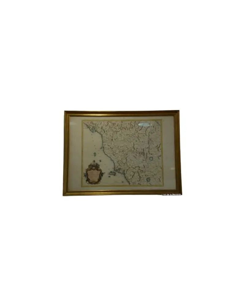

Map of Toulouse and Its Surroundings by Tardieu, De Lisle, De Fer
Books and manuscripts · 18th Century
Dealer's asking price
140 €

No account needed. The dealer replies to you directly.
Antiga does not take part in the purchase. You agree price, payment and delivery directly with the dealer.
- Address
- Sant Andreu de Llavaneres, Barcelona, Spain
- Phone
- +34628208909
Piece summary
Map of Toulouse and Its Surroundings by Tardieu, De Lisle, De Fer is an antique offered by L'Art de la Memòria in Sant Andreu de Llavaneres.
- What it is
- Map of Toulouse and Its Surroundings by Tardieu, De Lisle, De Fer (Books and manuscripts)
- Period
- 18th Century
- Material
- Paper
- Measurements
- 50 cm × 70 cm
- Condition
- Original, good condition
- Dealer and city
- L'Art de la Memòria, Sant Andreu de Llavaneres
- Availability
- For sale
- Guide price set by the dealer
- 140 €
- How to get in touch
- Use the contact buttons on this page. Antiga takes no part in the purchase: price, payment and delivery are agreed directly with the dealer.
Description
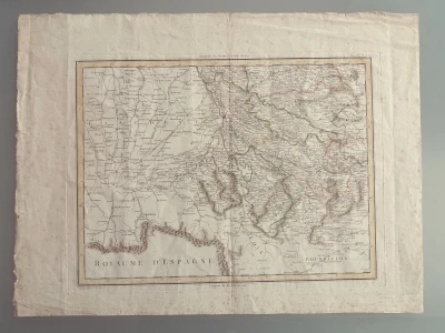
Antique map of Toulouse and its surroundings, engraved by Tardieu. This map shows precise geographical details of the region, with names of localities and topographical features. Made on paper, the engraving is the work of Tardieu, with contributions from De Lisle and De Fer. The cartography reflects the style and technique of the 18th century. The condition is good, with signs of wear appropriate for its age. This map, originally titled in French as "Plan topographique de la ville de Toulouse et de ses environs", is one of the most elegant and precise cartographic representations of the French city during the 18th century. The collaboration between Guillaume Delisle, one of the most influential geographers in history (known for his scientific accuracy), and the engraver Pierre-François Tardieu, resulted in a work that combines technical rigor and artistic beauty. Highlights of the work: The river environment: The map meticulously details the course of the Garonne River and the infrastructure of the Canal du Midi, which at that time was vital for the region's trade. Historical urbanism: It allows observation of pre-revolutionary Toulouse, with its convents, gardens, and the ancient walls that still delineated the urban core. Family legacy: The Tardieu family was a lineage of French engravers who dominated the production of maps and illustrations for nearly a century, providing exceptional clarity of line.
Machine translation. The seller's original text prevails.
Suggested uses
Office decoration
Exhibition in a library
Collection of antique maps
Living room decoration
Specifications
- Object
- Books and manuscripts
- Period
- 18th Century
- Material
- Paper
- Measurements
- 50 cm × 70 cm
- Origin
- France
- Condition
- Original, good condition
Listed on 8 May 2026
Dealer
Antigüedades sobre papel. Cartografía antigua. Catalonia. Geography
Sant Andreu de Llavaneres, Spain
Tell me about new pieces
Once a week, the pieces dealers have just published. Unsubscribe with one click.
Map of the Grand Duchy of Tuscany by Santini/Remondini, 1776
L'Art de la Memòria · Sant Andreu de Llavaneres
465 €
Map of Italy by Delisle, Covens & Mortier, 1700
L'Art de la Memòria · Sant Andreu de Llavaneres
699,5 €
1845 Monnier, Bourguignon-duperré y Lieussou Plan Du Port de Marseille
L'Art de la Memòria · Sant Andreu de Llavaneres
350 €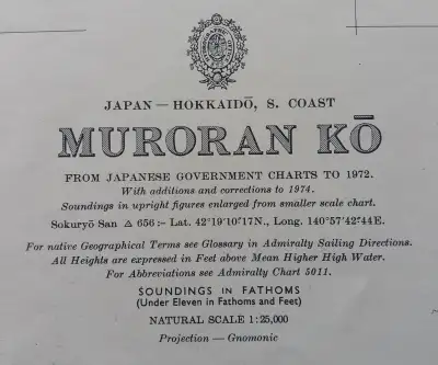
Nautical Chart Muroran Kō, 1972
L'Art de la Memòria · Sant Andreu de Llavaneres
90 €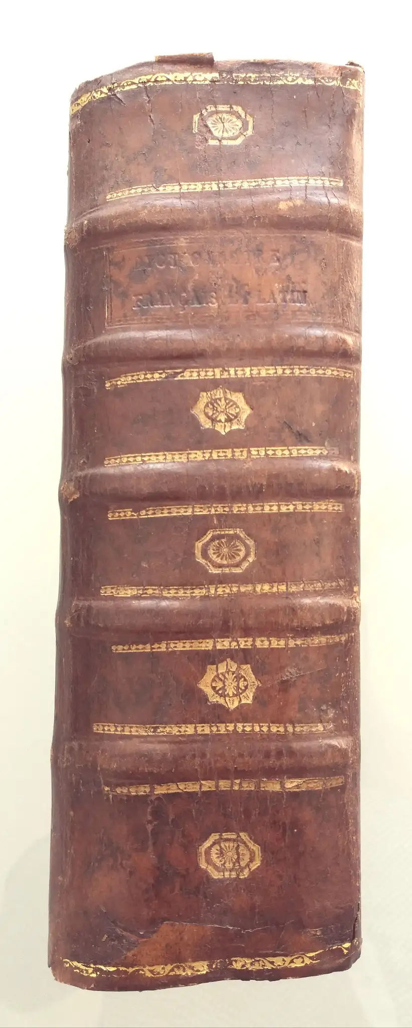
1713 Danet Grand Dictionnaire François Et Latin
L'Art de la Memòria · Sant Andreu de Llavaneres
190 €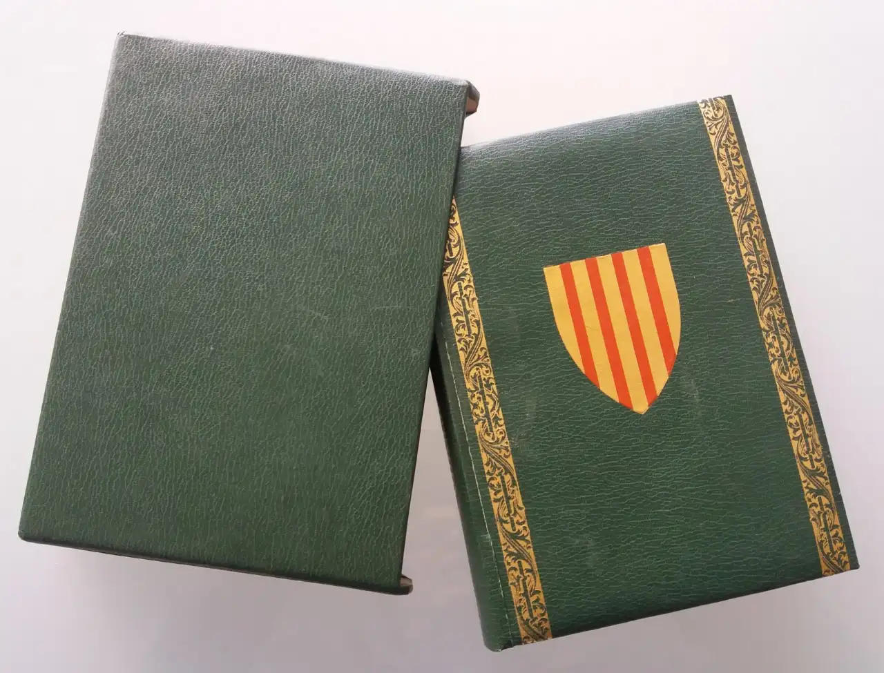
EL LLIBRE DEL CONSOLAT DEL MAR facsimile
L'Art de la Memòria · Sant Andreu de Llavaneres
69 €
1822 Esquisse D'un Tableau Historique, Condorcet
L'Art de la Memòria · Sant Andreu de Llavaneres
182 €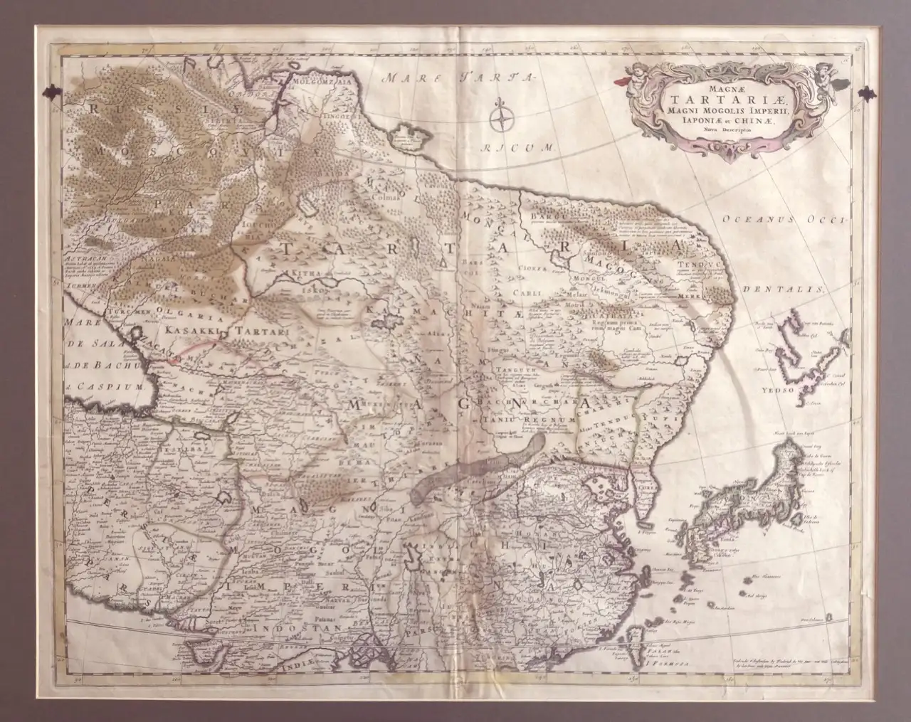
Map of East Asia by Frederick de Wit, 17th Century
L'Art de la Memòria · Sant Andreu de Llavaneres
881 €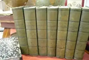
Géographie Universelle de Conrad Malte-brun, 1850
L'Art de la Memòria · Sant Andreu de Llavaneres
490 €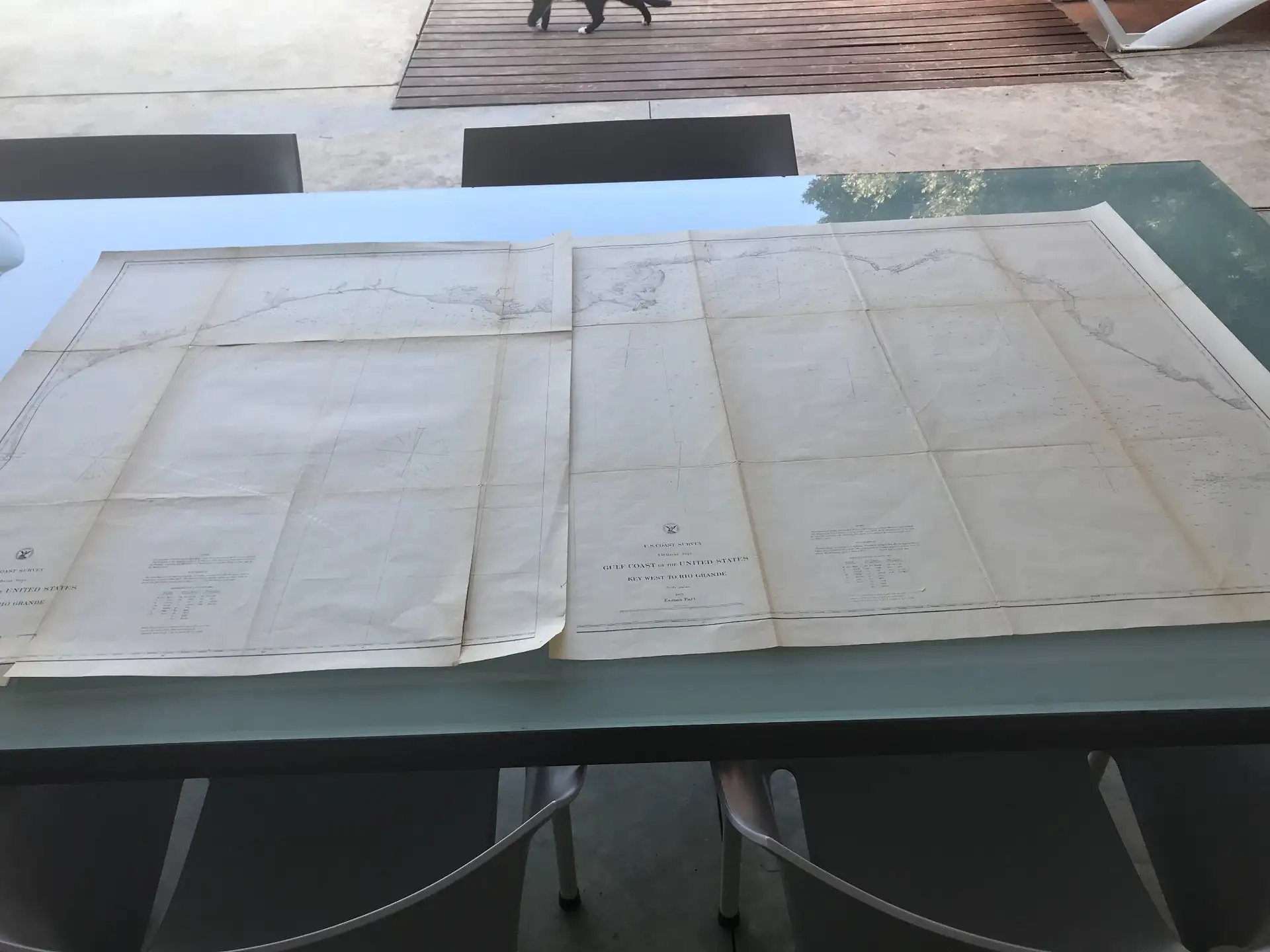
Gulf Coast Map of the U.S., 1863, by Bache
L'Art de la Memòria · Sant Andreu de Llavaneres
299,5 €
More pieces like this
1845 Monnier, Bourguignon-duperré y Lieussou Plan Du Port de Marseille
L'Art de la Memòria · Sant Andreu de Llavaneres
350 €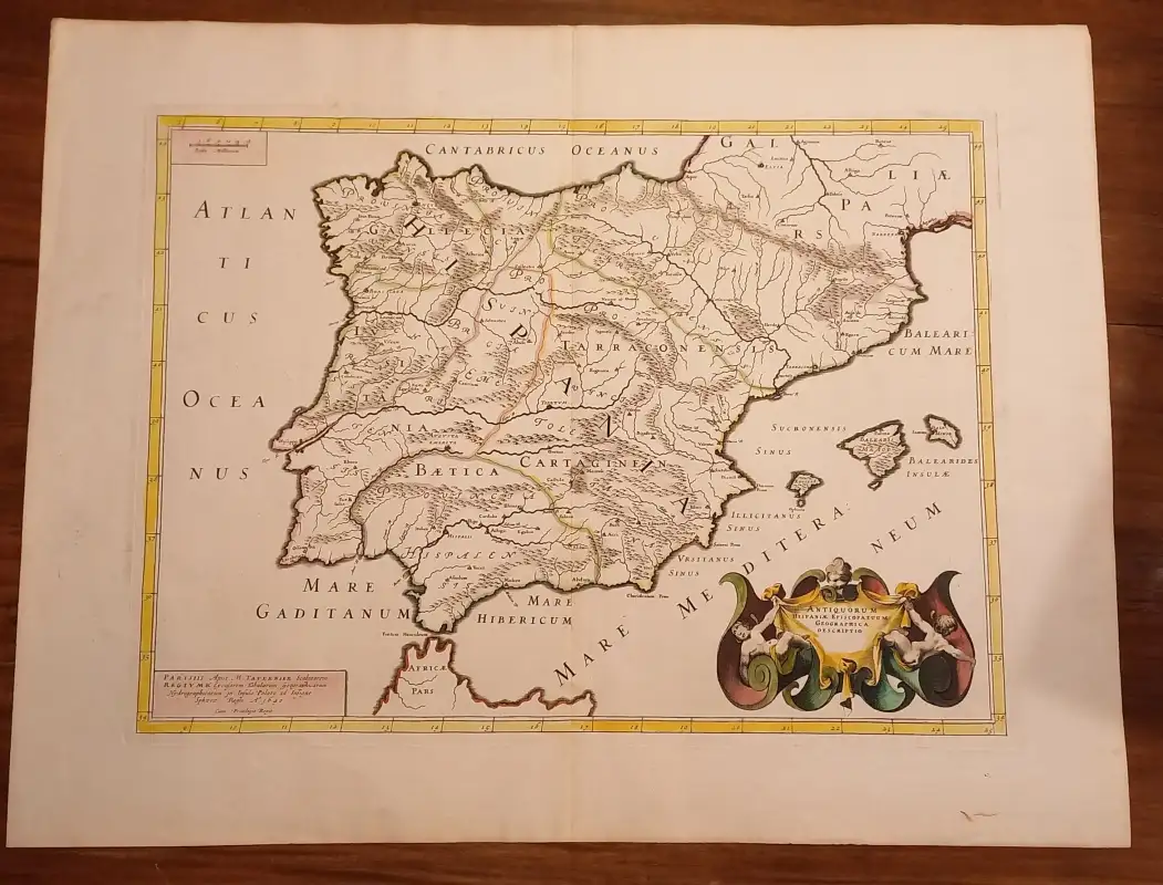
Geographical Map of Hispania, Tavernier, 1640
L'Art de la Memòria · Sant Andreu de Llavaneres
395 €
Map of the Caribbean by Bowen, 1747
L'Art de la Memòria · Sant Andreu de Llavaneres
499,5 €Map of East Asia by Frederick de Wit, 17th Century
L'Art de la Memòria · Sant Andreu de Llavaneres
881 €Map of the Grand Duchy of Tuscany by Santini/Remondini, 1776
L'Art de la Memòria · Sant Andreu de Llavaneres
465 €Map of Italy by Delisle, Covens & Mortier, 1700
L'Art de la Memòria · Sant Andreu de Llavaneres
699,5 €Gulf Coast Map of the U.S., 1863, by Bache
L'Art de la Memòria · Sant Andreu de Llavaneres
299,5 €
Map of Roses, Beaulieu, 1645
L'Art de la Memòria · Sant Andreu de Llavaneres
950 €