
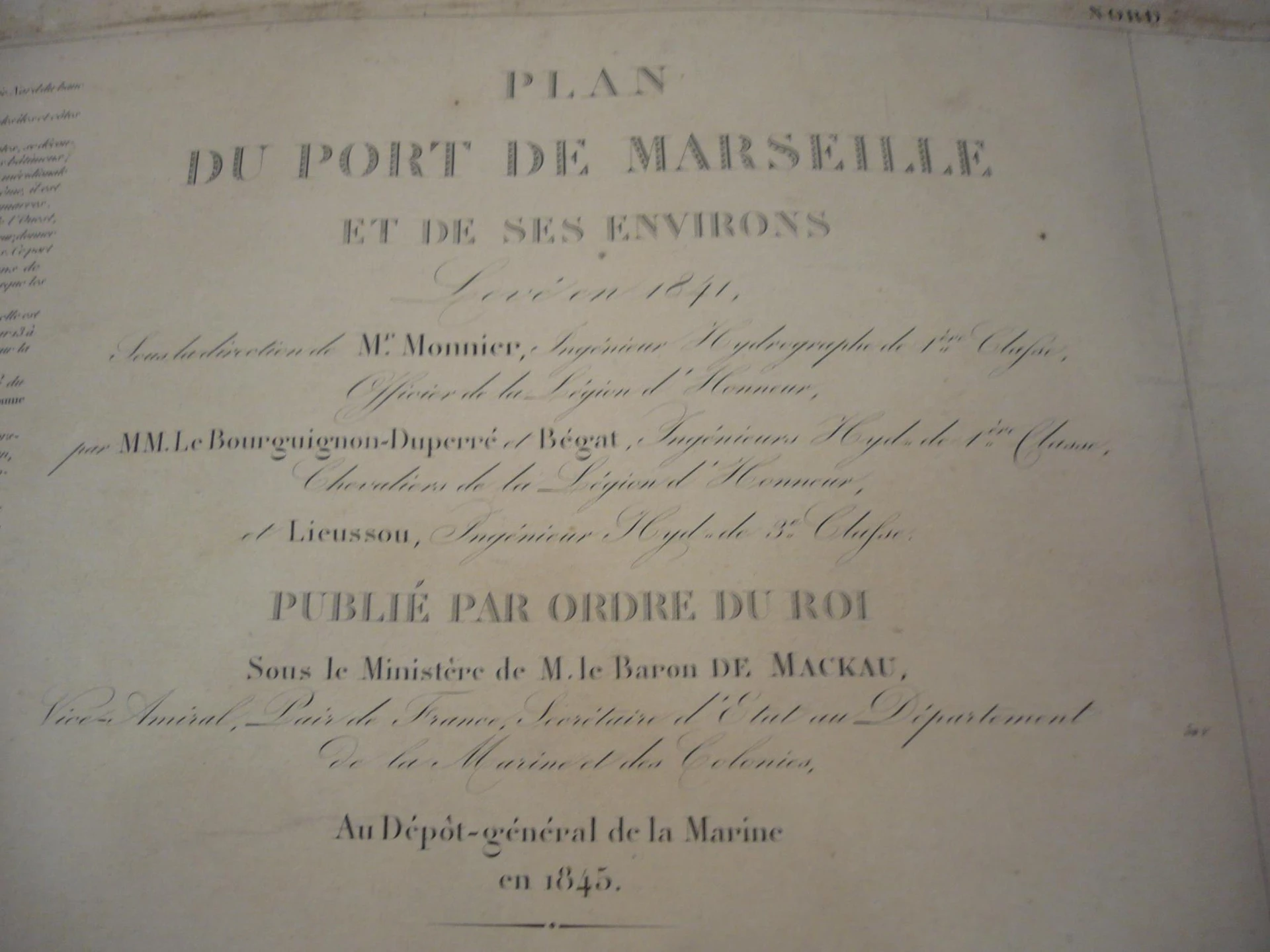
1845 Monnier, Bourguignon-duperré y Lieussou Plan Du Port de Marseille
Books and manuscripts · 19th Century
Dealer's asking price
350 €

No account needed. The dealer replies to you directly.
Antiga does not take part in the purchase. You agree price, payment and delivery directly with the dealer.
- Address
- Sant Andreu de Llavaneres, Barcelona, Spain
- Phone
- +34628208909
Piece summary
1845 Monnier, Bourguignon-duperré y Lieussou Plan Du Port de Marseille is an antique offered by L'Art de la Memòria in Sant Andreu de Llavaneres.
- What it is
- 1845 Monnier, Bourguignon-duperré y Lieussou Plan Du Port de Marseille (Books and manuscripts)
- Period
- 19th Century
- Material
- Paper
- Measurements
- 60 cm × 90 cm
- Condition
- Minor signs of use
- Dealer and city
- L'Art de la Memòria, Sant Andreu de Llavaneres
- Availability
- For sale
- Guide price set by the dealer
- 350 €
- How to get in touch
- Use the contact buttons on this page. Antiga takes no part in the purchase: price, payment and delivery are agreed directly with the dealer.
Description
Map of the Port of Marseille and its surroundings, created in 1845 by Monnier, Bourguignon-Duperré, and Lieussou. Published under the order of the King, this map shows topographical and maritime details of the region. The cartography includes nearby islands and the coastal outline with precision. The paper shows signs of aging, consistent with its antiquity. It retains its structural integrity. This piece is one of the most precise and elegant nautical charts of the 19th century, resulting from the work of the Dépôt Général de la Marine (the official hydrographic service of France). Published in 1845, it captures the port of Marseille at a time of great industrial transformation. Technical Details and Measurements Authors: Signed by the hydrographic engineers Monnier, Bourguignon-Duperré, and Lieussou, key figures in French scientific cartography. Format: Copperplate engraving on thick high-quality paper. Dimensions: The sheet size is typically approximately 90 x 60 cm (format 'Grand Aigle'). Scale: Presents a high level of detail (large scale), ideal for coastal approach and docking. Map Description The chart not only shows navigation but also the detailed topography of the surroundings: Port Area: Shows the 'Vieux Port' (Old Port) before the major expansions of the 19th century, with all docks and depth soundings (in feet or meters). Defenses: The Fort Saint-Jean and Fort Saint-Nicolas, guarding the entrance to the port, are clearly detailed. Surroundings: Includes the islands of If (with its famous castle), Ratonneau, and Pomègues, connected by the dyke built shortly before. Orography: The mountainous relief surrounding the city is represented through artistic shading (hachures) of great realism.
Machine translation. The seller's original text prevails.
Suggested uses
Exhibition in a gallery of historical maps
Decoration of a nautical office
Collection of antique cartography
Reference for historical studies
Specifications
- Object
- Books and manuscripts
- Period
- 19th Century
- Material
- Paper
- Measurements
- 60 cm × 90 cm
- Origin
- France
- Condition
- Minor signs of use
Listed on 8 May 2026
Dealer
Antigüedades sobre papel. Cartografía antigua. Catalonia. Geography
Sant Andreu de Llavaneres, Spain
Tell me about new pieces
Once a week, the pieces dealers have just published. Unsubscribe with one click.
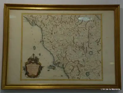
Map of the Grand Duchy of Tuscany by Santini/Remondini, 1776
L'Art de la Memòria · Sant Andreu de Llavaneres
465 €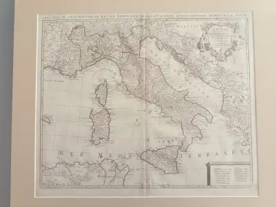
Map of Italy by Delisle, Covens & Mortier, 1700
L'Art de la Memòria · Sant Andreu de Llavaneres
699,5 €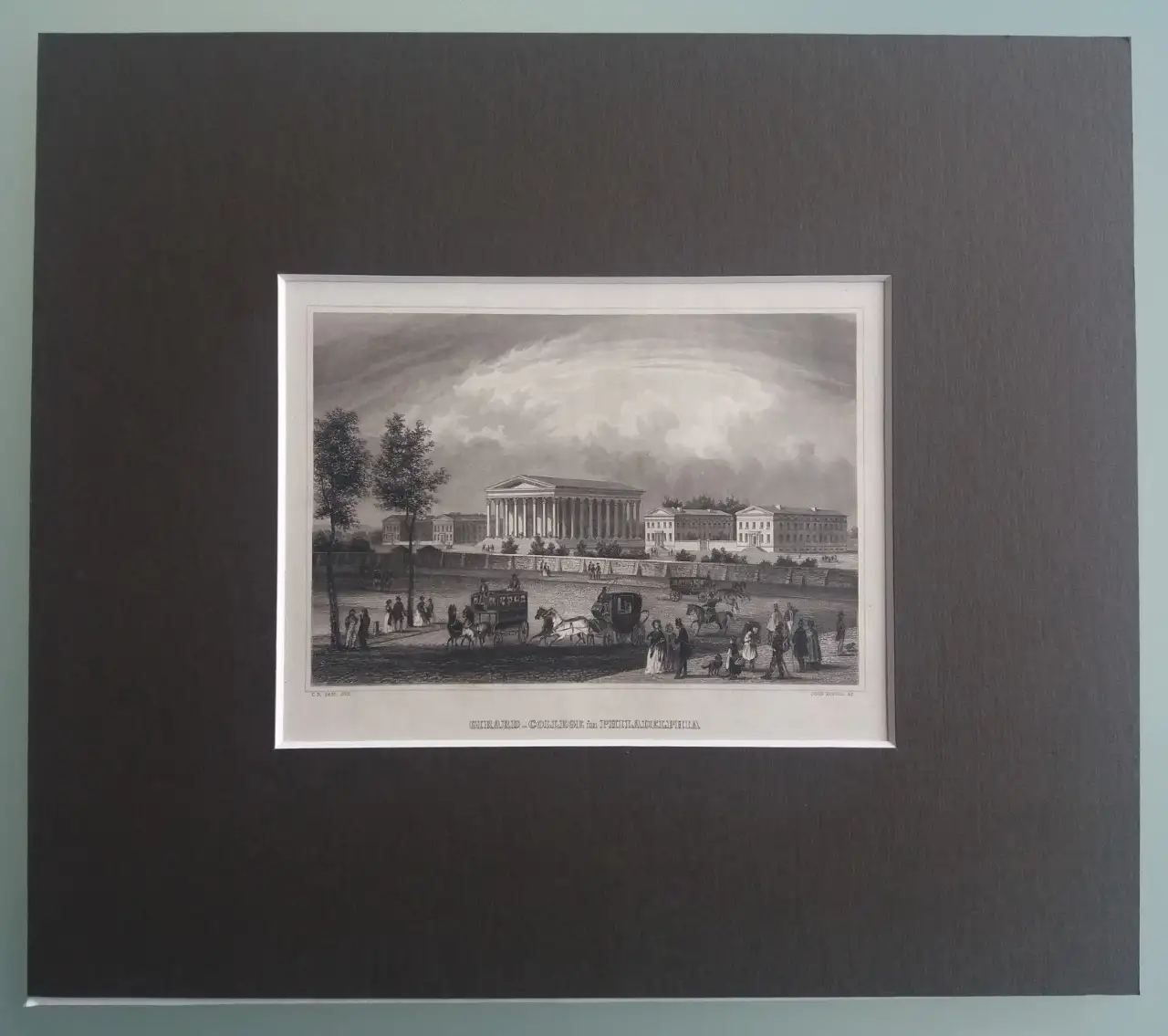
Set of 5 Engravings of American Places from the 19th Century
L'Art de la Memòria · Sant Andreu de Llavaneres
250 €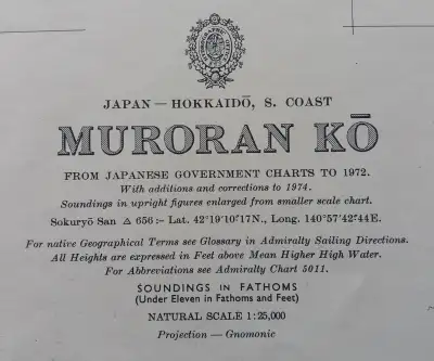
Nautical Chart Muroran Kō, 1972
L'Art de la Memòria · Sant Andreu de Llavaneres
90 €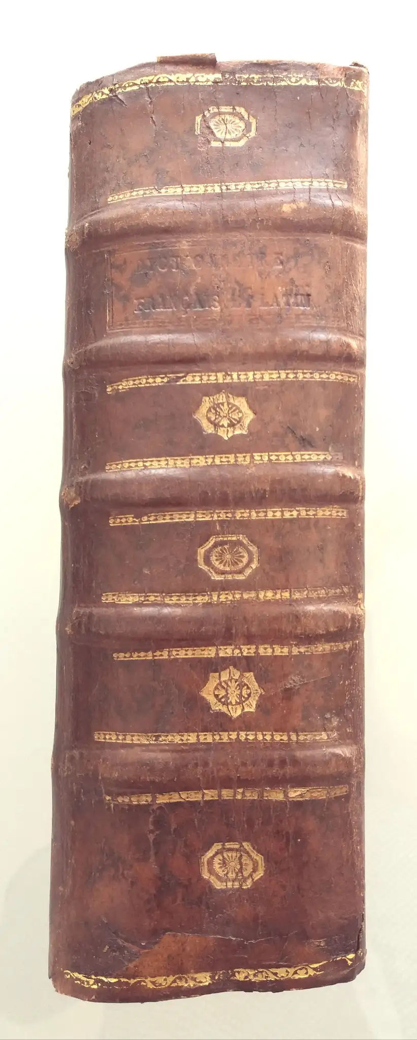
1713 Danet Grand Dictionnaire François Et Latin
L'Art de la Memòria · Sant Andreu de Llavaneres
190 €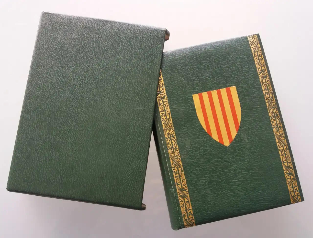
EL LLIBRE DEL CONSOLAT DEL MAR facsimile
L'Art de la Memòria · Sant Andreu de Llavaneres
69 €
1822 Esquisse D'un Tableau Historique, Condorcet
L'Art de la Memòria · Sant Andreu de Llavaneres
182 €
Map of East Asia by Frederick de Wit, 17th Century
L'Art de la Memòria · Sant Andreu de Llavaneres
881 €
Géographie Universelle de Conrad Malte-brun, 1850
L'Art de la Memòria · Sant Andreu de Llavaneres
490 €
Gulf Coast Map of the U.S., 1863, by Bache
L'Art de la Memòria · Sant Andreu de Llavaneres
299,5 €
More pieces like this
Geographical Map of Hispania, Tavernier, 1640
L'Art de la Memòria · Sant Andreu de Llavaneres
395 €
Map of Toulouse and Its Surroundings by Tardieu, De Lisle, De Fer
L'Art de la Memòria · Sant Andreu de Llavaneres
140 €Gulf Coast Map of the U.S., 1863, by Bache
L'Art de la Memòria · Sant Andreu de Llavaneres
299,5 €Map of East Asia by Frederick de Wit, 17th Century
L'Art de la Memòria · Sant Andreu de Llavaneres
881 €Map of the Grand Duchy of Tuscany by Santini/Remondini, 1776
L'Art de la Memòria · Sant Andreu de Llavaneres
465 €
Nautical Chart Isla Leones Admiralty, 1956
L'Art de la Memòria · Sant Andreu de Llavaneres
75 €
1943 Map of Guayanilla Harbour, Puerto Rico
L'Art de la Memòria · Sant Andreu de Llavaneres
160 €
Map of the Caribbean by Bowen, 1747
L'Art de la Memòria · Sant Andreu de Llavaneres
499,5 €