
Kaart van Tartarije door Frederick de Wit, 17e eeuw
Art & Paintings · 17th Century
Prijs van het stuk
881 €
Verzending schatten
Waarheen verzenden we?
Ook gratis ophalen mogelijk in Sant Andreu de Llavaneres
Vraag naar de verzending, de staat, de geschiedenis of stel een andere vraag.
Beschrijving
This copper-engraved map, titled 'Magnae Tartariae, Magni Mogolis, Imperii Iaponiae et Chinae Nova Descriptio', was created by Frederick de Wit in Amsterdam around 1680. It represents the northeast of Asia, from the island of Formosa to the north of the Arctic Circle. The representation includes 'Great Tartary', the Mughal Empire, China, and Japan, reflecting European knowledge of the 17th century. The map shows the Great Wall and multiple cities in China and northern India. Decorative elements include finely engraved mountains and trees. The topography is speculative, with coastlines and geographical features that are not precise. The condition is good, with wear consistent with its age. Frederick de Wit, one of the most prominent cartographers of the Dutch Golden Age, produced several influential maps of East and Southeast Asia during the 17th century. His most iconic work for this region is the Tabula Indiae Orientalis (c. 1662–1680), which reflects the height of Dutch maritime power and geographical knowledge. Key Features of the Map Geographical Scope: The map covers the vast region from the southeastern coast of Persia and India to Japan, the Philippines, and the northern coast of Australia (labeled as Hollandia Nova). Colonial Trade Routes: It highlights the strategic interests of the Dutch East India Company (VOC), showing major trading hubs like Batavia (modern-day Jakarta) and the island of Formosa (Taiwan). Decorative Cartouche: De Wit's maps are famous for their artistic flair. This one typically features a title cartouche adorned with figures of Asian merchants, turbaned warriors, and exotic animals. Cartographic Anomalies: Common for the time, it includes mythical elements like Lake Chiamay in central China, believed to be the source of five major Asian rivers. It also often depicts New Guinea as being joined to ... image: 45 x 56 cm (or 18 x 22 inches) sheet: 52 x 62 cm
Gebruikssuggesties
Exhibition in an antique map gallery
Decoration in a private library
Centerpiece in a historical cartography collection
Educational use in academic institutions
- Eeuw
- 17th Century
- Herkomst
- Países Bajos
- Materiaal
- Kopergravure
- Staat
- Original, good condition
- Afmetingen
- 52 cm × 62 cm
- Geplaatst op
- 7 mei 2026
Verkocht door

L'Art de la Memòria✓Geverifieerd
Antigüedades sobre papel. Cartografía antigua. Catalonia. Geography
Sant Andreu de Llavaneres, España
Verzending en verzekering
Wat kost de verzending?▾
De verzendkosten worden door de verkoper bepaald op basis van de bestemming en de kenmerken van het stuk. U hoort ze na bevestiging van de aankoop.
Is het stuk verzekerd?▾
De verkoper regelt de verzendverzekering. We raden aan de dekking vóór verzending te bevestigen.
Hoe lang duurt de levering?▾
De levertijd hangt af van herkomst en bestemming. De verkoper geeft u na de aankoop een schatting.
Worden retouren geaccepteerd?▾
Elke verkoper kiest een van de vier retourbeleiden van Antiga (retour binnen 14 dagen, alleen ruilen, alleen bij gebreken of geen retour). Het beleid voor dit stuk staat naast de prijs.

Gerelateerde artikelen

Vergelijkbare stukken

Kaart van het Caraïbisch gebied door Bowen, 1747
Art & Paintings
18th Century · Reino Unido
Papier, GRAVURE
L'Art de la Memòria · Sant Andreu de Llavaneres
499,5 €
Kaart van de Golfkust van de Verenigde Staten, 1863, door Bache
Art & Paintings
19th Century · Estados Unidos
Papier
L'Art de la Memòria · Sant Andreu de Llavaneres
299,5 €
Geografische kaart van Hispania, Tavernier, 1640
Decorative Objects
17th Century · Francia
Cartografisch materiaal
L'Art de la Memòria · Sant Andreu de Llavaneres
395 €
Kaart van Italië door Delisle, Covens & Mortier, 1700
Art & Paintings
18th Century · Italia
Papier, inkt
L'Art de la Memòria · Sant Andreu de Llavaneres
699,5 €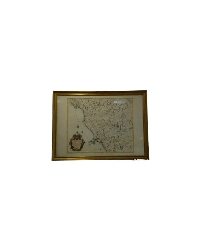
Kaart van het Groothertogdom Toscane door Santini/Remondini, 1776
Art & Paintings
18th Century · Italia
Papier, inkt
L'Art de la Memòria · Sant Andreu de Llavaneres
465 €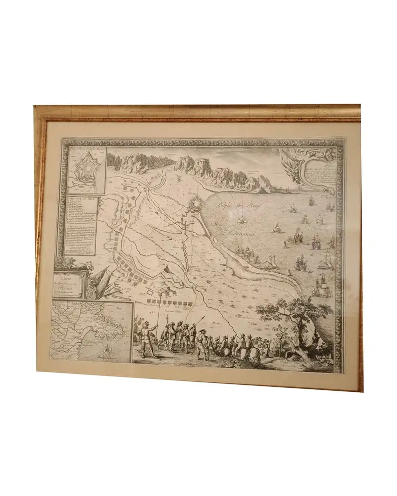
Kaart van Roses, Beaulieu, 1645
Art & Paintings
17th Century · Roses, España
Papier, vergulde lijst
L'Art de la Memòria · Sant Andreu de Llavaneres
950 €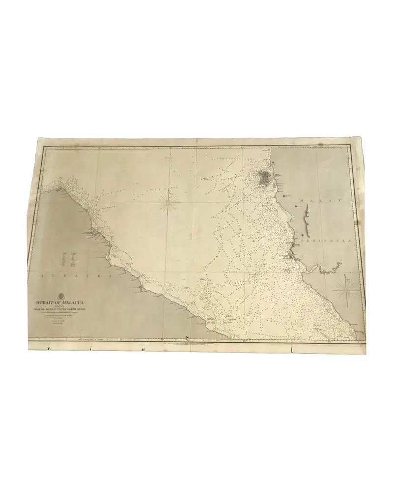
Admiraliteitskaart 793 uit 1860 (Straat van Malakka - Blad 1)
Art & Paintings
19th Century · Reino Unido
Nautische kaart
L'Art de la Memòria · Sant Andreu de Llavaneres
390 €
Kaart uit 1943 van Guayanilla Harbour, Puerto Rico
Art & Paintings
First half of the 20th Century · Puerto Rico
Papier
L'Art de la Memòria · Sant Andreu de Llavaneres
160 €