
Mappa della Tartaria di Frederick de Wit, XVII secolo
Art & Paintings · 17th Century
Prezzo del pezzo
881 €
Stima spedizione
Dove spediamo?
Ritiro gratuito possibile anche a Sant Andreu de Llavaneres
Chieda della spedizione, dello stato, della storia o di qualsiasi dubbio.
Descrizione
This copper-engraved map, titled 'Magnae Tartariae, Magni Mogolis, Imperii Iaponiae et Chinae Nova Descriptio', was created by Frederick de Wit in Amsterdam around 1680. It represents the northeast of Asia, from the island of Formosa to the north of the Arctic Circle. The representation includes 'Great Tartary', the Mughal Empire, China, and Japan, reflecting European knowledge of the 17th century. The map shows the Great Wall and multiple cities in China and northern India. Decorative elements include finely engraved mountains and trees. The topography is speculative, with coastlines and geographical features that are not precise. The condition is good, with wear consistent with its age. Frederick de Wit, one of the most prominent cartographers of the Dutch Golden Age, produced several influential maps of East and Southeast Asia during the 17th century. His most iconic work for this region is the Tabula Indiae Orientalis (c. 1662–1680), which reflects the height of Dutch maritime power and geographical knowledge. Key Features of the Map Geographical Scope: The map covers the vast region from the southeastern coast of Persia and India to Japan, the Philippines, and the northern coast of Australia (labeled as Hollandia Nova). Colonial Trade Routes: It highlights the strategic interests of the Dutch East India Company (VOC), showing major trading hubs like Batavia (modern-day Jakarta) and the island of Formosa (Taiwan). Decorative Cartouche: De Wit's maps are famous for their artistic flair. This one typically features a title cartouche adorned with figures of Asian merchants, turbaned warriors, and exotic animals. Cartographic Anomalies: Common for the time, it includes mythical elements like Lake Chiamay in central China, believed to be the source of five major Asian rivers. It also often depicts New Guinea as being joined to ... image: 45 x 56 cm (or 18 x 22 inches) sheet: 52 x 62 cm
Usi suggeriti
Exhibition in an antique map gallery
Decoration in a private library
Centerpiece in a historical cartography collection
Educational use in academic institutions
- Secolo
- 17th Century
- Provenienza
- Países Bajos
- Materiale
- Incisione su rame
- Stato di conservazione
- Original, good condition
- Dimensioni
- 52 cm × 62 cm
- Pubblicato il
- 7 maggio 2026
Venduto da

L'Art de la Memòria✓Verificato
Antigüedades sobre papel. Cartografía antigua. Catalonia. Geography
Sant Andreu de Llavaneres, España
Spedizione e assicurazione
Quanto costa la spedizione?▾
Il costo di spedizione è stabilito dal venditore in base alla destinazione e alle caratteristiche del pezzo. Glielo comunicherà dopo aver confermato l'acquisto.
Il pezzo è assicurato?▾
Il venditore si occupa dell'assicurazione della spedizione. Consigliamo di confermare la copertura prima della spedizione.
Quanto tempo richiede la consegna?▾
I tempi di consegna dipendono da origine e destinazione. Il venditore Le darà una stima dopo l'acquisto.
Si accettano resi?▾
Ogni venditore sceglie una delle quattro politiche di reso di Antiga (reso entro 14 giorni, solo cambi, solo difetti o nessun reso). La politica di questo pezzo è indicata accanto al prezzo.

Articoli correlati

Pezzi simili

Mappa dei Caraibi di Bowen, 1747
Art & Paintings
18th Century · Reino Unido
Carta, INCISIONE
L'Art de la Memòria · Sant Andreu de Llavaneres
499,5 €
Mappa della Costa del Golfo degli Stati Uniti, 1863, di Bache
Art & Paintings
19th Century · Estados Unidos
Carta
L'Art de la Memòria · Sant Andreu de Llavaneres
299,5 €
Mappa geografica di Hispania, Tavernier, 1640
Decorative Objects
17th Century · Francia
Materiale cartografico
L'Art de la Memòria · Sant Andreu de Llavaneres
395 €
Mappa d'Italia di Delisle, Covens & Mortier, 1700
Art & Paintings
18th Century · Italia
Carta, inchiostro
L'Art de la Memòria · Sant Andreu de Llavaneres
699,5 €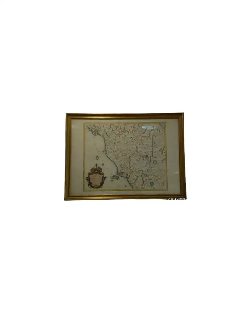
Mappa del Granducato di Toscana di Santini/Remondini, 1776
Art & Paintings
18th Century · Italia
Carta, inchiostro
L'Art de la Memòria · Sant Andreu de Llavaneres
465 €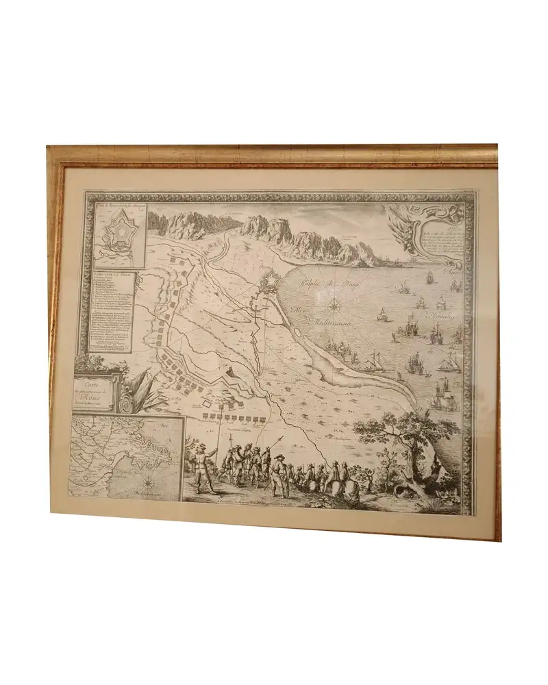
Mappa di Roses, Beaulieu, 1645
Art & Paintings
17th Century · Roses, España
Carta, cornice dorata
L'Art de la Memòria · Sant Andreu de Llavaneres
950 €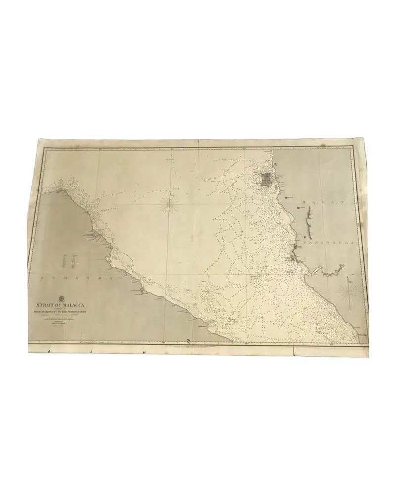
Carta dell'Ammiragliato 793 del 1860 (Stretto di Malacca - Foglio 1)
Art & Paintings
19th Century · Reino Unido
Carta nautica
L'Art de la Memòria · Sant Andreu de Llavaneres
390 €
Mappa del 1943 di Guayanilla Harbour, Porto Rico
Art & Paintings
First half of the 20th Century · Puerto Rico
Carta
L'Art de la Memòria · Sant Andreu de Llavaneres
160 €