
Nouvelle Carte de L'état de L'église por Santini y Remondini, 1776
Art & Paintings · 18th Century
Product price
365 €
Estimate shipping
Where do we ship?
Also available for free pickup in Sant Andreu de Llavaneres
Ask about shipping, condition, history, or any questions.
Description
Map of the State of the Church created in 1776 by cartographers Santini and Remondini. It presents geographical and topographical details of the region, including cities and territorial boundaries. The decorative cartouche includes references to the work of Boscovich. Printed on paper, the map shows a typical 18th-century design. The wooden frame protects the map, which maintains its original clarity with minimal signs of aging.
In original good colors. Finely and crisply engraved map centered on Rome with remarkable topographical detail. Ornated with a large title cartouche featuring the symbols of Christianity. Short legend and letter key in the upper left corner. Marginal spotting.
Year: 1776
Place of publication: Venice
Condition: Very Good
Language: French
Antique
WITH FRAME
SPECIAL SHIPPING RATES
Beautiful map WITH SOME SPOTTING. THE COLOR IS VERY BEAUTIFUL.
Object history
Provenance private collection
Suggested uses
Exhibition in a library or study
Decoration of a thematic office
Centerpiece in a collection of antique maps
Educational use in history classrooms
- Century
- 18th Century
- Origin
- Italy
- Material
- Paper
- Condition
- Original, good condition
- Dimensions
- 42 cm × 36 cm × 4 cm
- Listed on
- 16 June 2026
Sold by

L'Art de la Memòria✓Verified
Antigüedades sobre papel. Cartografía antigua. Catalonia. Geography
Sant Andreu de Llavaneres, Spain
Shipping & insurance
How much does shipping cost?▾
Shipping cost is defined by the seller based on the destination and characteristics of the piece. They will inform you after confirming the purchase.
Is the piece insured?▾
The seller coordinates shipping insurance. We recommend confirming coverage before shipping.
How long does delivery take?▾
Delivery time depends on origin and destination. The seller will give you an estimate after purchase.
Are returns accepted?▾
Each seller picks one of Antiga's four return policies (14-day returns, exchanges only, defects only, or no returns). The policy for this piece appears next to the price.

Related articles

Similar pieces
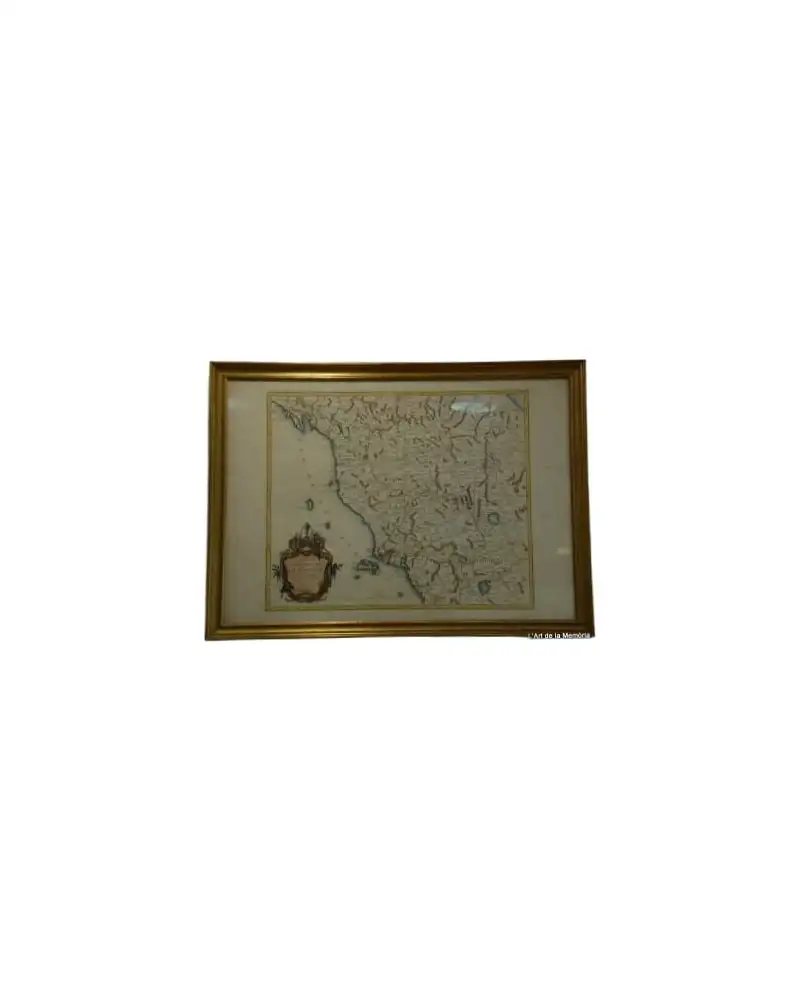
Map of the Grand Duchy of Tuscany by Santini/Remondini, 1776
Art & Paintings
18th Century · Italy
Paper, ink
L'Art de la Memòria · Sant Andreu de Llavaneres
465 €
Map of Italy by Delisle, Covens & Mortier, 1700
Art & Paintings
18th Century · Italy
Paper, ink
L'Art de la Memòria · Sant Andreu de Llavaneres
699,5 €
Map of the Caribbean by Bowen, 1747
Art & Paintings
18th Century · United Kingdom
Paper, ENGRAVING
L'Art de la Memòria · Sant Andreu de Llavaneres
499,5 €
Map of East Asia by Frederick de Wit, 17th Century
Art & Paintings
17th Century · Netherlands
Copper engraving
L'Art de la Memòria · Sant Andreu de Llavaneres
881 €
Oil on Panel Nativity, Italy, 17th Century
Art & Paintings
17th Century · Italy
Oil on panel
Antique Arts · Madrid
4.500 €
Geographical Map of Hispania, Tavernier, 1640
Decorative Objects
17th Century · France
Cartographic material
L'Art de la Memòria · Sant Andreu de Llavaneres
395 €
Drawing by Grossgasteiger from the 19th Century of Naples
Art & Paintings
19th Century · Neapel, Italia
Paper, pencil
Ladrón de Guevara Fine Arts · Madrid
780 €
Map of Roses, Beaulieu, 1645
Art & Paintings
17th Century · Roses, España
Paper, gold frame
L'Art de la Memòria · Sant Andreu de Llavaneres
950 €