
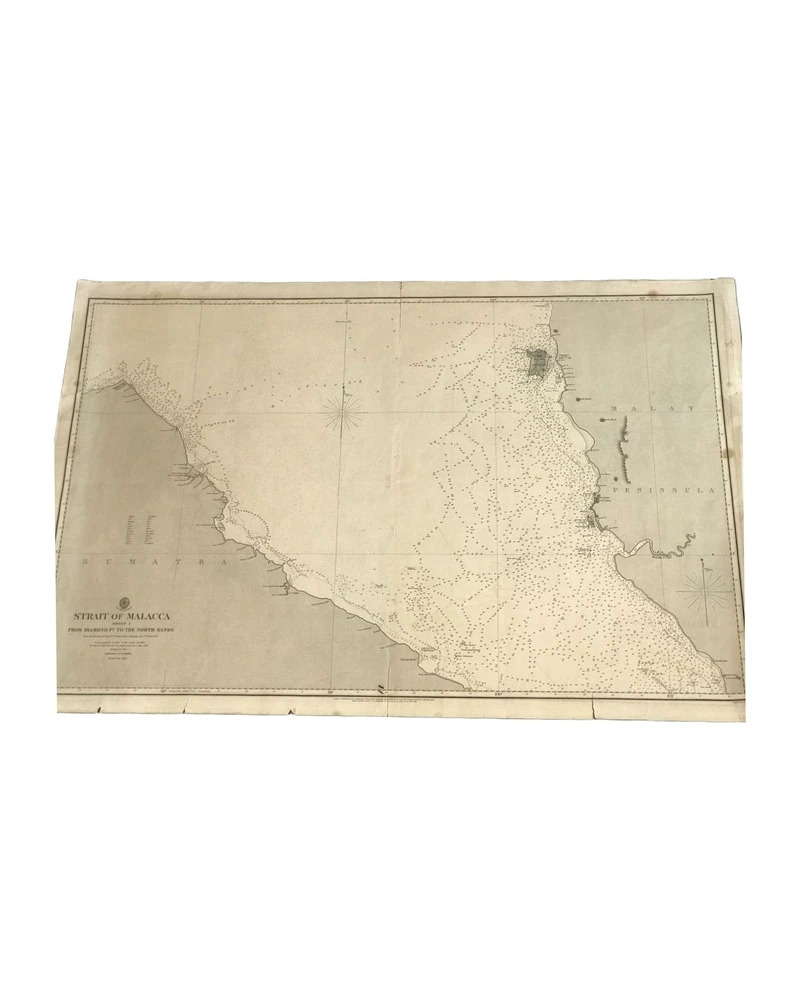
Carta del Almirantazgo 793 de 1860 (estrecho de Malaca - Hoja 1)
Art & Paintings · 19th Century
Product price
390 €
Estimate shipping
Where do we ship?
Also available for free pickup in Sant Andreu de Llavaneres
Ask about shipping, condition, history, or any questions.
Description
Carta náutica del Almirantazgo de 1860, representando el Estrecho de Malaca. Esta hoja es la primera de una serie, detallando las costas y aguas circundantes de la región. Impresa en papel, muestra detalles topográficos y marítimos con precisión técnica. Los puntos de referencia y las profundidades están claramente marcados. La carta presenta signos de desgaste apropiados para su antigüedad, pero conserva su integridad estructural.
Suggested uses
Exhibición en una colección de mapas antiguos
Decoración temática náutica
Referencia histórica para estudios marítimos
Elemento decorativo en una oficina
- Century
- 19th Century
- Origin
- United Kingdom
- Material
- Carta náutica
- Condition
- Needs minor restoration
- Dimensions
- 68 cm × 103 cm
- Listed on
- 8 May 2026
Sold by

L'Art de la Memòria✓Verified
Antigüedades sobre papel. Cartografía antigua. Catalonia. Geography
Sant Andreu de Llavaneres, Spain
Shipping & insurance
How much does shipping cost?▾
Shipping cost is defined by the seller based on the destination and characteristics of the piece. They will inform you after confirming the purchase.
Is the piece insured?▾
The seller coordinates shipping insurance. We recommend confirming coverage before shipping.
How long does delivery take?▾
Delivery time depends on origin and destination. The seller will give you an estimate after purchase.
Are returns accepted?▾
Each seller picks one of Antiga's four return policies (14-day returns, exchanges only, defects only, or no returns). The policy for this piece appears next to the price.
Related articles

Similar pieces
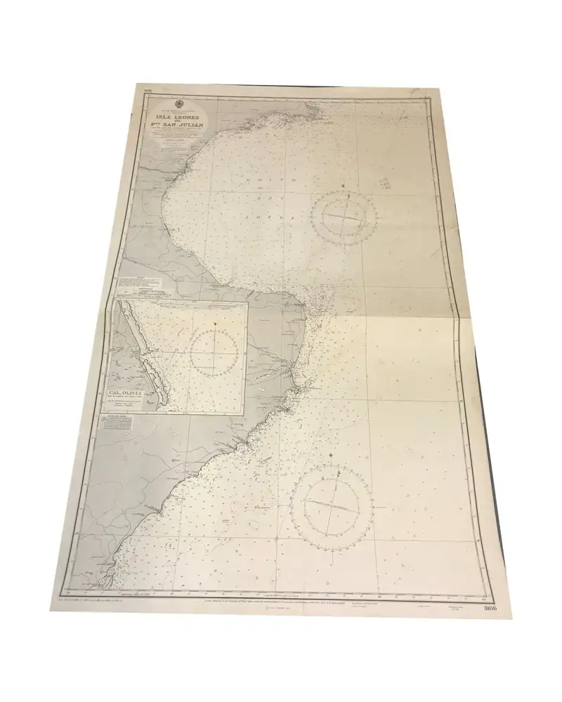
Nautical Chart Isla Leones Admiralty, 1956
Curiosities & Collectibles
First half of the 20th Century · United Kingdom
Paper, nautical chart
L'Art de la Memòria · Sant Andreu de Llavaneres
75 €
1943 Map of Guayanilla Harbour, Puerto Rico
Art & Paintings
First half of the 20th Century · Puerto Rico
Paper
L'Art de la Memòria · Sant Andreu de Llavaneres
160 €
Gulf Coast Map of the U.S., 1863, by Bache
Art & Paintings
19th Century · United States
Paper
L'Art de la Memòria · Sant Andreu de Llavaneres
299,5 €
Map of East Asia by Frederick de Wit, 17th Century
Art & Paintings
17th Century · Netherlands
Copper engraving
L'Art de la Memòria · Sant Andreu de Llavaneres
881 €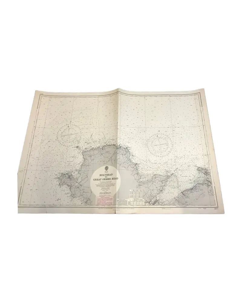
Nautical Chart from 1961, Wales: Holyhead to Great Ormes Head
Art & Paintings
Second half of the 20th Century · Gales
Paper, nautical chart
L'Art de la Memòria · Sant Andreu de Llavaneres
149,99 €
Map of the Caribbean by Bowen, 1747
Art & Paintings
18th Century · United Kingdom
Paper, ENGRAVING
L'Art de la Memòria · Sant Andreu de Llavaneres
499,5 €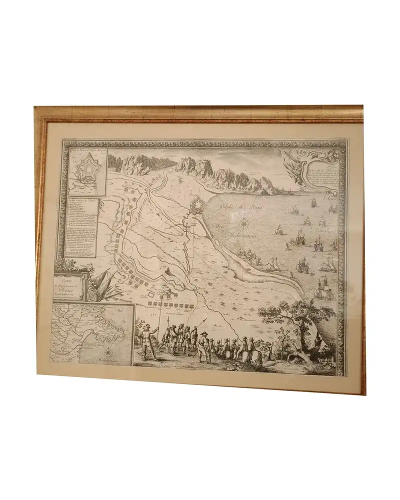
Map of Roses, Beaulieu, 1645
Art & Paintings
17th Century · Roses, España
Paper, gold frame
L'Art de la Memòria · Sant Andreu de Llavaneres
950 €
Nautical Chart Muroran Kō, 1972
Art & Paintings
Second half of the 20th Century · Muroran Kō, Japón
Paper
L'Art de la Memòria · Sant Andreu de Llavaneres
90 €