
1943 Map of Guayanilla Harbour, Puerto Rico
Art & Paintings · First half of the 20th Century
Product price
160 €
Estimate shipping
Where do we ship?
Also available for free pickup in Sant Andreu de Llavaneres
Ask about shipping, condition, history, or any questions.
Description
Hydrographic map from 1943 created by Admiral Sir Wharton. It represents the port of Guayanilla on the island of Puerto Rico, part of the West Indies. Includes topographical and bathymetric details essential for navigation. The map was made from studies by the United States government between 1900 and 1901. It features annotations on depths in fathoms. It maintains its structural integrity with signs of wear appropriate for its age. From a US Government Survey 1900-01. With additions to corrections to 1929. Printed in 1943. First edition corresponds to 1902, London, by the Admiralty. Natural scale 1:14500. Well preserved, right margin slightly darkened. 68 x 51 cm
Historical Details
Sir William Wharton: He was the Hydrographer of the British Navy from 1884 to 1904, during which many of these detailed plans of colonial and American ports were perfected.
Importance of Guayanilla: Historically, this port was vital for the sugar trade and later for the petrochemical industry of the island.
Suggested uses
Exhibition in a nautical collection
Decoration in a navigation office
Historical reference for geographic studies
Centerpiece in a thematic library
- Century
- First half of the 20th Century
- Origin
- Puerto Rico
- Material
- Paper
- Condition
- Original, good condition
- Dimensions
- 68 cm × 51 cm
- Listed on
- 8 May 2026
Sold by

L'Art de la Memòria✓Verified
Antigüedades sobre papel. Cartografía antigua. Catalonia. Geography
Sant Andreu de Llavaneres, Spain
Shipping & insurance
How much does shipping cost?▾
Shipping cost is defined by the seller based on the destination and characteristics of the piece. They will inform you after confirming the purchase.
Is the piece insured?▾
The seller coordinates shipping insurance. We recommend confirming coverage before shipping.
How long does delivery take?▾
Delivery time depends on origin and destination. The seller will give you an estimate after purchase.
Are returns accepted?▾
Each seller picks one of Antiga's four return policies (14-day returns, exchanges only, defects only, or no returns). The policy for this piece appears next to the price.

Related articles

Similar pieces
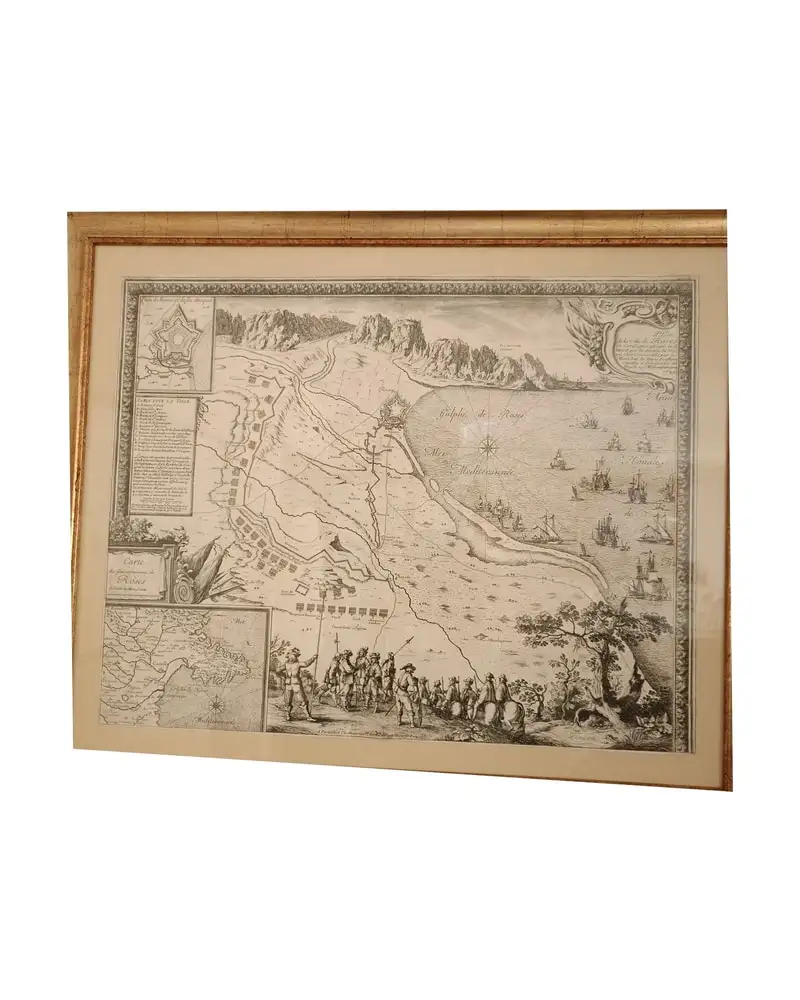
Map of Roses, Beaulieu, 1645
Art & Paintings
17th Century · Roses, España
Paper, gold frame
L'Art de la Memòria · Sant Andreu de Llavaneres
950 €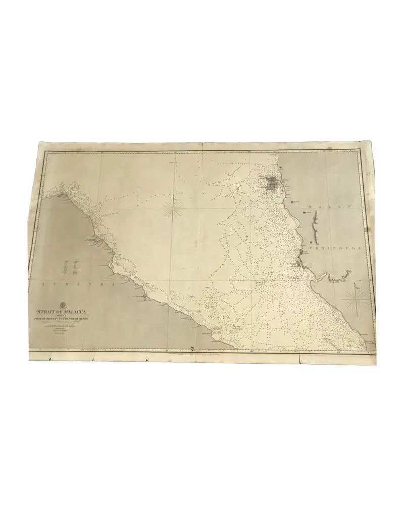
Carta del Almirantazgo 793 de 1860 (estrecho de Malaca - Hoja 1)
Art & Paintings
19th Century · United Kingdom
Carta náutica
L'Art de la Memòria · Sant Andreu de Llavaneres
390 €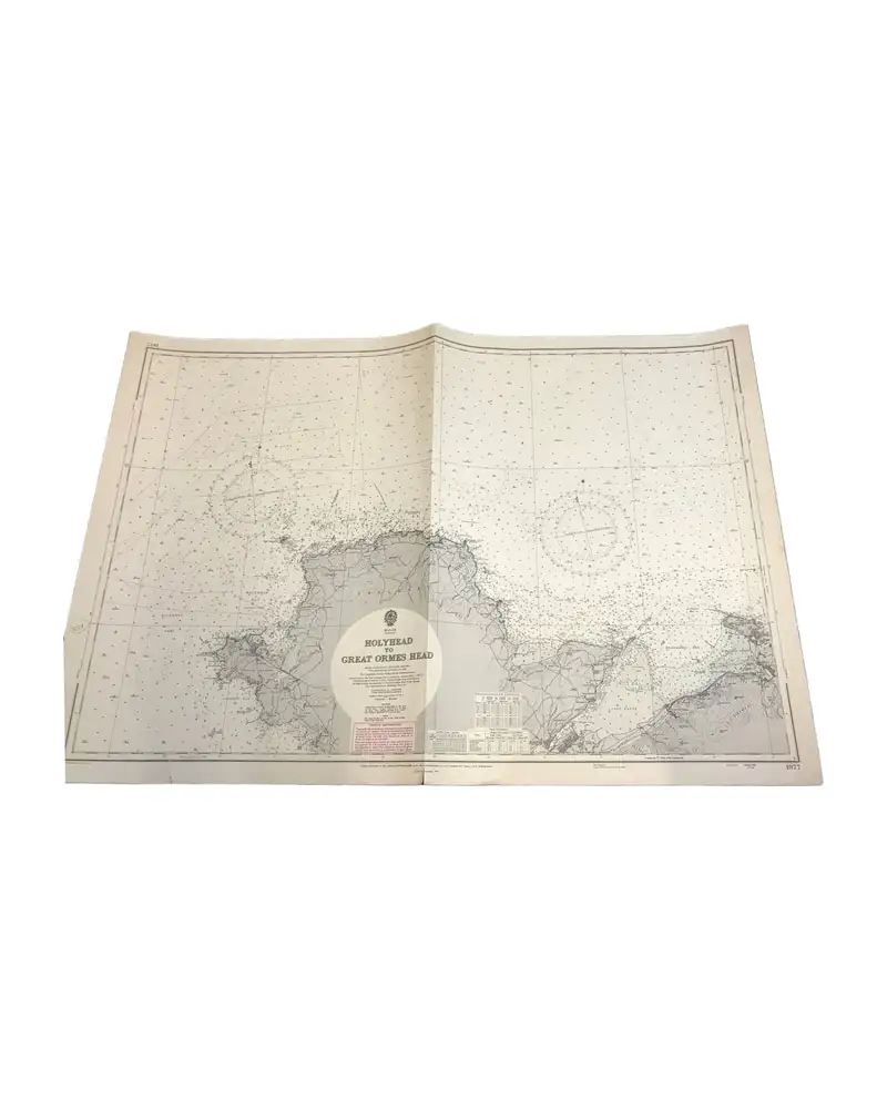
Nautical Chart from 1961, Wales: Holyhead to Great Ormes Head
Art & Paintings
Second half of the 20th Century · Gales
Paper, nautical chart
L'Art de la Memòria · Sant Andreu de Llavaneres
149,99 €
Map of Italy by Delisle, Covens & Mortier, 1700
Art & Paintings
18th Century · Italy
Paper, ink
L'Art de la Memòria · Sant Andreu de Llavaneres
699,5 €
Map of East Asia by Frederick de Wit, 17th Century
Art & Paintings
17th Century · Netherlands
Copper engraving
L'Art de la Memòria · Sant Andreu de Llavaneres
881 €
Map of the Caribbean by Bowen, 1747
Art & Paintings
18th Century · United Kingdom
Paper, ENGRAVING
L'Art de la Memòria · Sant Andreu de Llavaneres
499,5 €
Gulf Coast Map of the U.S., 1863, by Bache
Art & Paintings
19th Century · United States
Paper
L'Art de la Memòria · Sant Andreu de Llavaneres
299,5 €
Map of the Grand Duchy of Tuscany by Santini/Remondini, 1776
Art & Paintings
18th Century · Italy
Paper, ink
L'Art de la Memòria · Sant Andreu de Llavaneres
465 €