
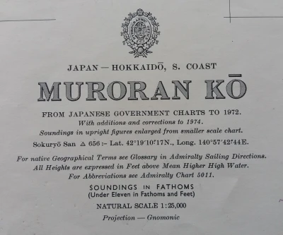
Nautical Chart Muroran Kō, 1972
Books and manuscripts · Second half of the 20th Century
Dealer's asking price
90 €

No account needed. The dealer replies to you directly.
Antiga does not take part in the purchase. You agree price, payment and delivery directly with the dealer.
- Address
- Sant Andreu de Llavaneres, Barcelona, Spain
- Phone
- +34628208909
Piece summary
Nautical Chart Muroran Kō, 1972 is an antique offered by L'Art de la Memòria in Sant Andreu de Llavaneres.
- What it is
- Nautical Chart Muroran Kō, 1972 (Books and manuscripts)
- Period
- Second half of the 20th Century
- Material
- Paper
- Measurements
- 71 cm × 104 cm
- Condition
- Original, good condition
- Dealer and city
- L'Art de la Memòria, Sant Andreu de Llavaneres
- Availability
- For sale
- Guide price set by the dealer
- 90 €
- How to get in touch
- Use the contact buttons on this page. Antiga takes no part in the purchase: price, payment and delivery are agreed directly with the dealer.
Description
Nautical chart of Muroran Kō, located on the southern coast of Hokkaidō, Japan, dated 1972. Includes updates and corrections until 1974. Provides information on tide heights and soundings in fathoms. The chart is printed on paper and shows geographical and navigational details. Uses gnomonic projection for cartographic representation. Preserves all original marks and annotations from the period. From Japanese government charts to 1972. With additions and corrections to 1974. London published at the Admiralty 23rd February 1962, under the superintendence of Rear-Admiral E.G. Irving, O.B.E., Hydrographer. Small corrections 1975-76. This piece is an official nautical chart of the British Admiralty representing the port of Muroran, located on the island of Hokkaido, Japan. Admiralty charts are globally recognized for their technical accuracy and are highly sought after by both navigators and maritime-themed collectors. Physical Description and Measurements: Editor: Published by the Hydrographic Office of the Royal Navy. Scale: Generally, these port charts (like that of Muroran Ko) are published at a large scale to facilitate docking maneuvers, often 1:12,500 or 1:15,000. Dimensions: The standard 'Full Size' format of the Admiralty is approximately 104 x 71 cm (41 x 28 inches). Material: High-density, heavy-weight paper designed to withstand rough use and moisture on the bridge. Details of the 1972 Edition: Content: The chart shows in meticulous detail the depths (soundings), navigational aids (lighthouses, buoys), underwater hazards, and the infrastructures of the port of Muroran, a key industrial center for steel in Japan. Corrections: Being from 1972, it includes all 'Notices to Mariners' up to its printing date. It usually carries a small stamp in the lower left corner indicating the last official revision. Regional Interest: By representing an important Japanese port, it has a specific market in Asia-Pacific cartography collections.
Machine translation. The seller's original text prevails.
Suggested uses
Nautical decoration in an office
Collection piece for cartography enthusiasts
Exhibition in a map gallery
Historical reference for maritime studies
Specifications
- Object
- Books and manuscripts
- Period
- Second half of the 20th Century
- Material
- Paper
- Measurements
- 71 cm × 104 cm
- Origin
- Muroran Kō, Japón
- Condition
- Original, good condition
Listed on 8 May 2026
Dealer
Antigüedades sobre papel. Cartografía antigua. Catalonia. Geography
Sant Andreu de Llavaneres, Spain
Tell me about new pieces
Once a week, the pieces dealers have just published. Unsubscribe with one click.
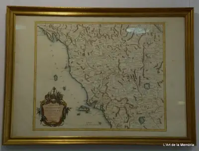
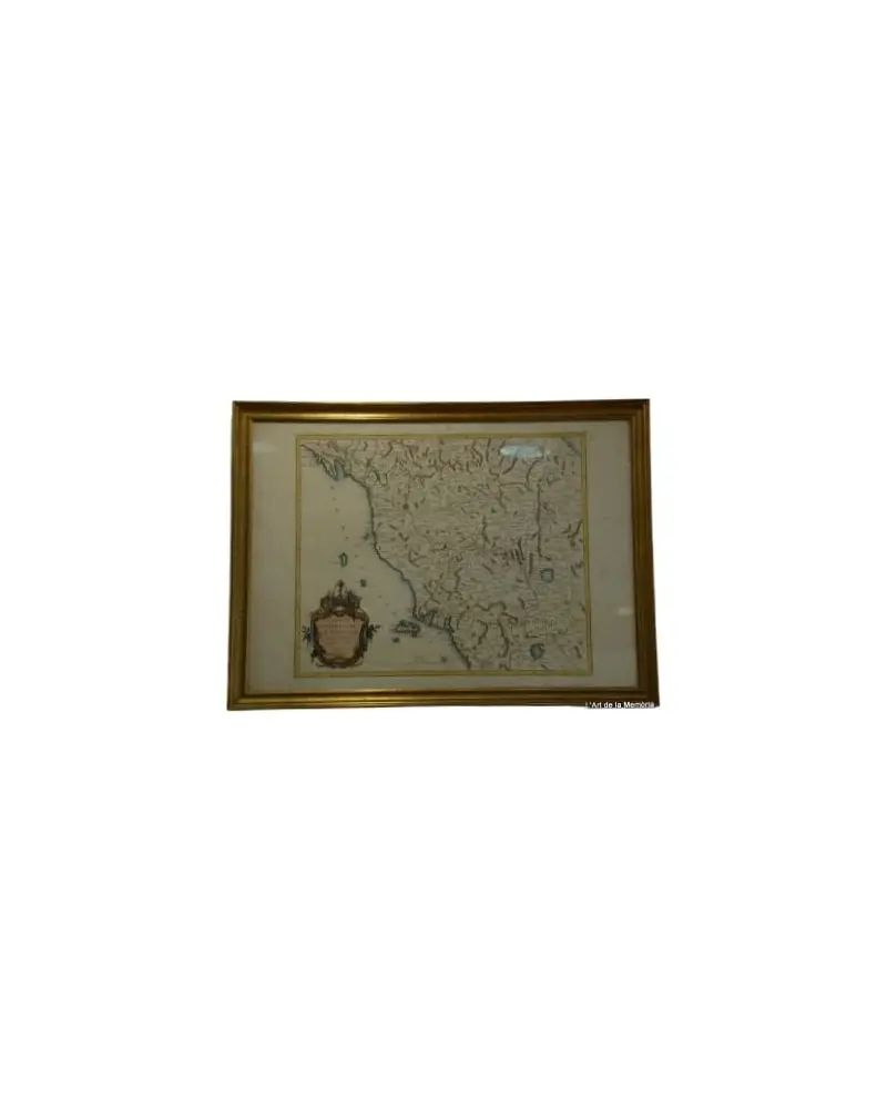
Map of the Grand Duchy of Tuscany by Santini/Remondini, 1776
L'Art de la Memòria · Sant Andreu de Llavaneres
465 €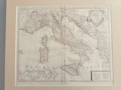
Map of Italy by Delisle, Covens & Mortier, 1700
L'Art de la Memòria · Sant Andreu de Llavaneres
699,5 €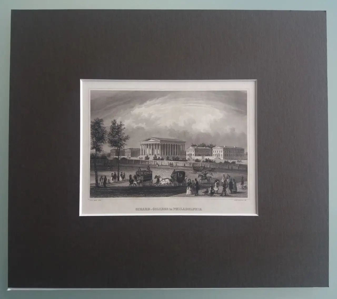
Set of 5 Engravings of American Places from the 19th Century
L'Art de la Memòria · Sant Andreu de Llavaneres
250 €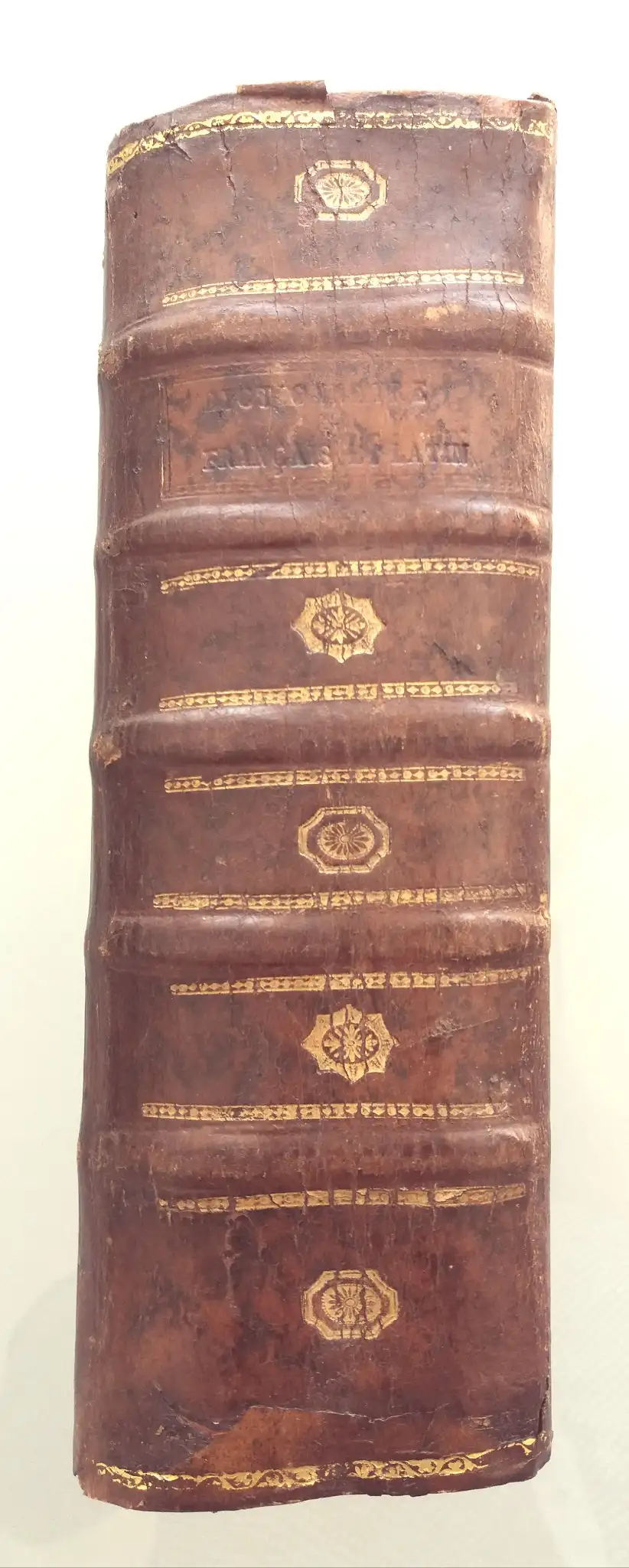
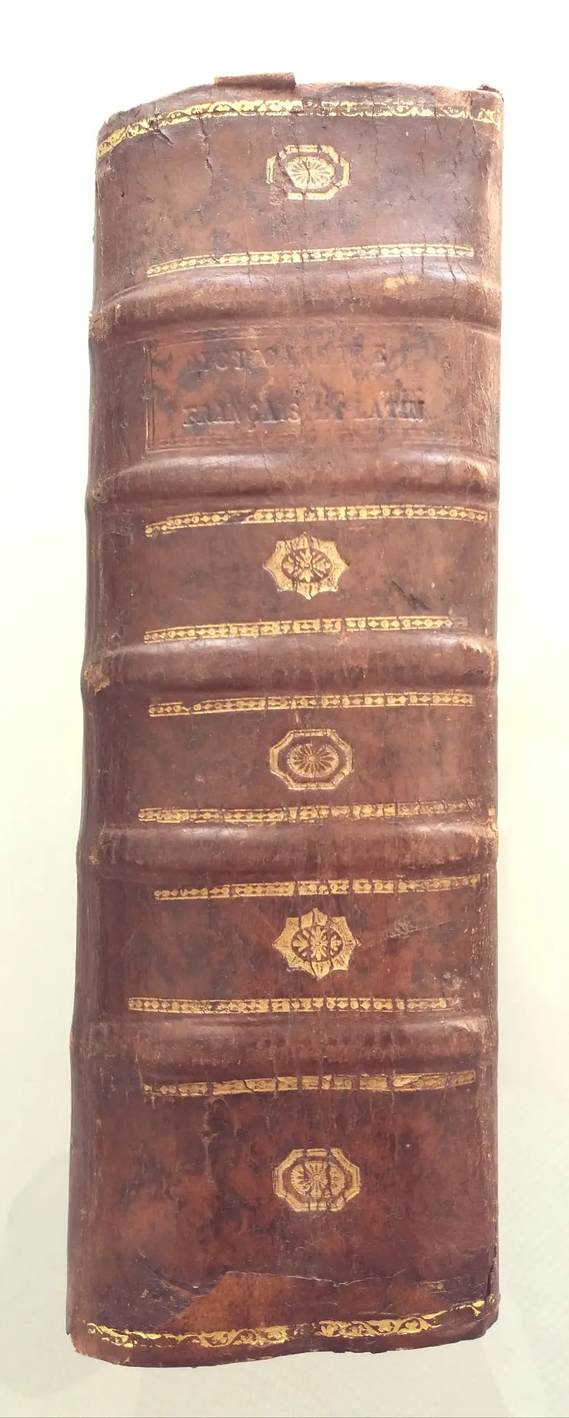
1713 Danet Grand Dictionnaire François Et Latin
L'Art de la Memòria · Sant Andreu de Llavaneres
190 €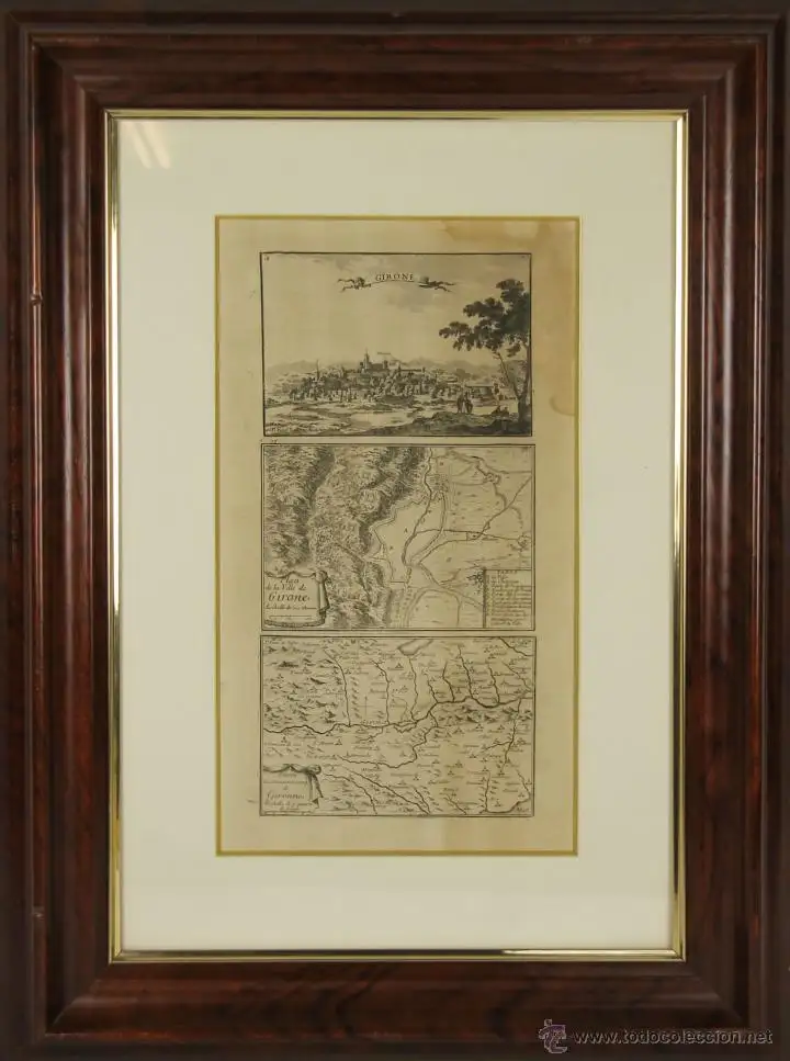
Classic Etching by Beaulieu and Perel, 1747
L'Art de la Memòria · Sant Andreu de Llavaneres
299,5 €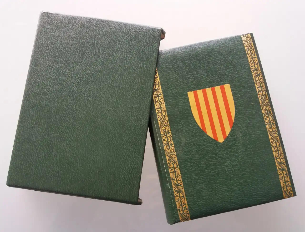
EL LLIBRE DEL CONSOLAT DEL MAR facsimile
L'Art de la Memòria · Sant Andreu de Llavaneres
69 €
1822 Esquisse D'un Tableau Historique, Condorcet
L'Art de la Memòria · Sant Andreu de Llavaneres
182 €
Map of East Asia by Frederick de Wit, 17th Century
L'Art de la Memòria · Sant Andreu de Llavaneres
881 €
Géographie Universelle de Conrad Malte-brun, 1850
L'Art de la Memòria · Sant Andreu de Llavaneres
490 €
Gulf Coast Map of the U.S., 1863, by Bache
L'Art de la Memòria · Sant Andreu de Llavaneres
299,5 €
More pieces like this
Nautical Chart from 1961, Wales: Holyhead to Great Ormes Head
L'Art de la Memòria · Sant Andreu de Llavaneres
149,99 €Gulf Coast Map of the U.S., 1863, by Bache
L'Art de la Memòria · Sant Andreu de Llavaneres
299,5 €
1943 Map of Guayanilla Harbour, Puerto Rico
L'Art de la Memòria · Sant Andreu de Llavaneres
160 €
Nautical Chart Isla Leones Admiralty, 1956
L'Art de la Memòria · Sant Andreu de Llavaneres
75 €
Carta del Almirantazgo 793 de 1860 (estrecho de Malaca - Hoja 1)
L'Art de la Memòria · Sant Andreu de Llavaneres
390 €Map of East Asia by Frederick de Wit, 17th Century
L'Art de la Memòria · Sant Andreu de Llavaneres
881 €Map of the Grand Duchy of Tuscany by Santini/Remondini, 1776
L'Art de la Memòria · Sant Andreu de Llavaneres
465 €
Geographical Map of Hispania, Tavernier, 1640
L'Art de la Memòria · Sant Andreu de Llavaneres
395 €