Sold by
L'Art de la Memòria✓Verified
Antigüedades sobre papel. Cartografía antigua. Catalonia. Geography
Sant Andreu de Llavaneres, España
Art & Paintings · 17th Century
ES·EN·PT·DE·FR
Product price
150 €
Estimate shipping
Where do we ship?
Also available for free pickup in Sant Andreu de Llavaneres
Ask about shipping, condition, history, or any questions.
150 €
Suggest a price. Sellers typically respond within 24 hours.
No commitment — you only pay if you accept the final agreement.
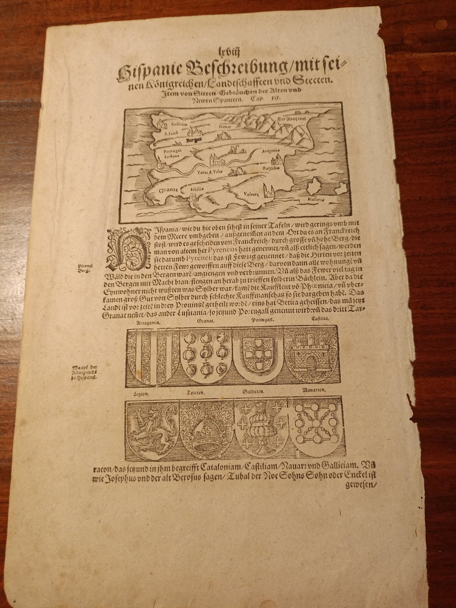
Loose leaf with a detailed description of Hispania, accompanied by an antique engraving illustrating the region. The reverse of the sheet contains text about the kingdom of Scotland. The engraving shows maps and coats of arms, typical of historical documents from the 17th century. The sheet shows signs of aging, consistent with its antiquity, but maintains its structural integrity. It is a notable example of cartography and historical description of the time.
German Edition: Although the work Cosmographia was originally published in Latin, the first German edition appeared in 1544, gaining wide dissemination.
20.5 x 34 cm
In the field of antique book collecting and cartography, the referenced engraving belongs to the famous German editions of the Cosmographia by Sebastian Münster (mostly printed in Basel by Heinrich Petri or his son Sebastian Petri). It is a loose leaf from this book, an important engraving.
Type of engraving: It is a woodcut. The drawing and text were carved in relief on a wooden block. The text in German was printed using movable lead type inserted into the recesses of the same wooden block. The text and the language: It uses the typeface known as Schwabacher or Fraktur (German Gothic script). The exact title that appears at the top of the page is usually "Hispanie beschreibung mit" or similar, depending on the year. The reverse: Being a sheet extracted from a book (and not an independent atlas map), the reverse always contains text in German that continues the geographical description, in this case, it is the chapter that discusses the kingdom of Scotland.
This document is a wood-engraved page, probably from the famous work Cosmographia by Sebastian Münster, published around 1544-1580. The map shows the Iberian Peninsula (Spain and Portugal) with ancient geographical details and coats of arms of the kingdoms at the bottom. The text printed in Old German describes the region, mentioning kingdoms such as Catalonia, Castiliam, Nauarr, and Galliciam. It is a collectible item of ancient cartography, valued for its historical importance and the use of 16th-century woodcut techniques.
Suggested uses
Exhibit in an antique map collection
Use as an educational piece in a history class
Frame for decoration in a library
Include in an exhibition on the history of Europe
Sold by
L'Art de la Memòria✓Verified
Antigüedades sobre papel. Cartografía antigua. Catalonia. Geography
Sant Andreu de Llavaneres, España
Sant Andreu de Llavaneres, España
Exact shipping cost depends on the destination and dimensions of the piece. Contact the seller for a quote.
Shipping cost is defined by the seller based on the destination and characteristics of the piece. They will inform you after confirming the purchase.
The seller coordinates shipping insurance. We recommend confirming coverage before shipping.
Delivery time depends on origin and destination. The seller will give you an estimate after purchase.
Each seller picks one of Antiga's four return policies (14-day returns, exchanges only, defects only, or no returns). The policy for this piece appears next to the price.
Verified pieces
Every seller and piece is reviewed by our team.
Contact & negotiate
Talk directly with the seller with no commitment.
Coordinated payment
We manage payment for the safety of both parties.
Receive your piece
Coordinated shipping with tracking included.
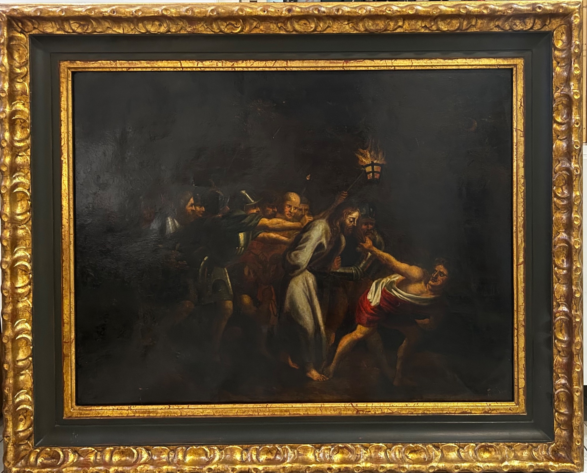
Decorative Objects
First half of the 20th Century · España
Jadeite
L'Art de la Memòria · Sant Andreu de Llavaneres · 6 days ago
1500 €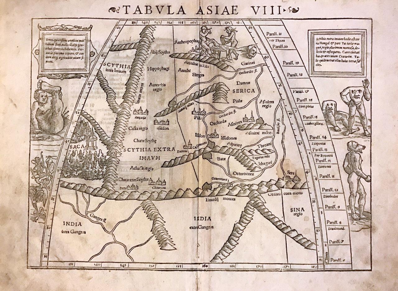
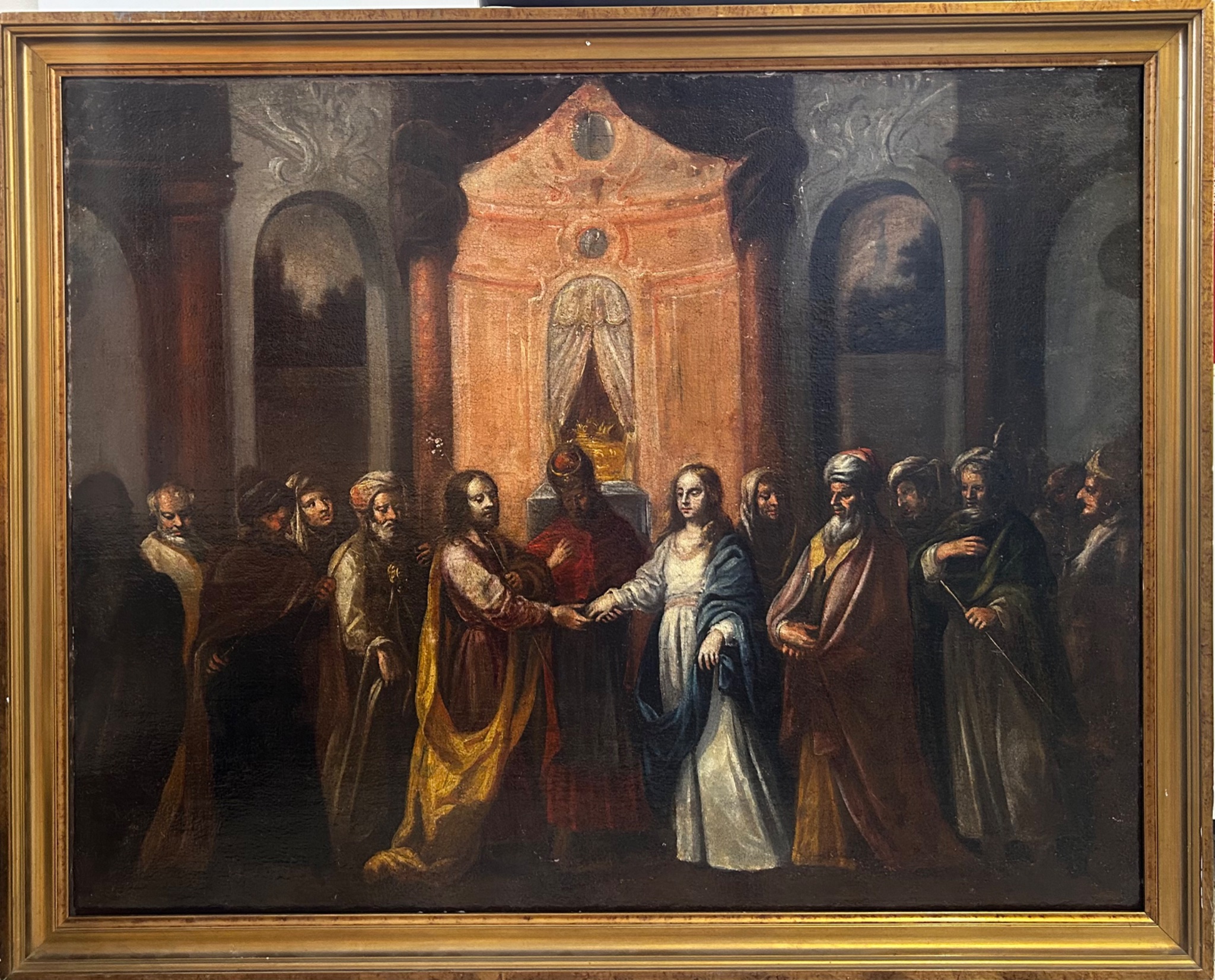
Art & Paintings
16th Century
Papel
L'Art de la Memòria · Sant Andreu de Llavaneres
750 €